Da-an Sur geodata
Da-an Sur (Western Visayas) is a populated place; located in Philippines in Asia/Manila (GMT+8) time zone. With population of 2,085 people, there are 4091 cities with bigger population in this country. Compared to other cities in Philippines, 53.7% of cities are located further ↑North; 55.9% of cities are located further →East and 91.4% of cities have lower elevation than Da-an Sur. Note1


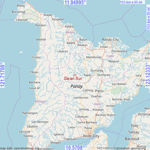
Da-an Sur GPS coordinates[2]
11° 15' 40.32" North, 122° 25' 12.72" East
| Map corner | latitude | longitude |
|---|---|---|
| Upper-left | 11.94995°, | 121.71708° |
| Center: | 11.2612°, | 122.4202° |
| Lower-right: | 10.5708°, | 123.12333° |
| Map W x H: | 153.3×153.3 km | = 95.3×95.3mi |
| max Lat: | 20.78733° ⇑53.7% North |
| Da-an Sur: | 11.2612° |
| min Lat: | ⇓46.3% South 4.65442° |
| min Long | Da-an Sur | max Long |
| 117.04868° | 122.4202° | 126.58417° |
| W 44.1%⇐ | ⇒55.9% E |
Elevation
Elevation of Da-an Sur is 268 m = 879 ft, and this is 180.1 m = 591 ft above average elevation for this country.
| Max E: |
2262 m = 7421 ft | 8.6% |
| Da-an Sur | 268 m 879 ft | |
| Avg. | 87.9 m = 288 ft | |
Min E: |
-2 m = -7 ft | 91.4% |
See also: Philippines elevation on elevation.city.
Geographical zone
Da-an Sur is located in North Torrid zone (between Equator and Tropic of Cancer). Distance of Equator is 1252.1 km =778 mi to South.| Distance of | km | miles | from Da-an Sur |
|---|---|---|---|
| North Pole | 8754.9 | 5440 | to North |
| Arctic Circle | 6149 | 3820.8 | to North |
| Tropic Cancer | 1353.8 | 841.2 | to North |
| Equator | 1252.1 | 778 | to South |


Nearby cities:
15 places around Da-an Sur: (largest is in red/bold)
• Ag-ambulong
15.4 km =9.6 mi,  39°
39°
• Alibunan
13.4 km =8.3 mi,  161°
161°
• Badlan
17.2 km =10.7 mi,  140°
140°
• Bingawan
16.3 km =10.1 mi,  101°
101°
• Calinog
22.7 km =14.1 mi, 135°
• Candelaria
11.6 km =7.2 mi,  74°
74°
• Duran
18.7 km =11.6 mi,  89°
89°
• Jaena
17.4 km =10.8 mi,  352°
352°
• Jamindan
17.7 km =11 mi,  28°
28°
• Lucero
22 km =13.7 mi,  12°
12°
• Manika
20.9 km =13 mi,  312°
312°
• Maribong
21.8 km =13.5 mi,  145°
145°
• San Miguel
14.3 km =8.9 mi,  111°
111°
• San Nicolas
12.6 km =7.8 mi,  58°
58°
• Tapas
12.7 km =7.9 mi, 89°
Sources, notices
• [Note1] Compared only with cities in Philippines existing in our database
• [Src1] Map data: © OpenStreetMap contributors (CC-BY-SA)
• [Src2] Other city data from geonames.org with taken over terms of usage.
• [Src3] Geographical zone / Annual Mean Temperature by Robert A. Rohde @ Wikipedia
