Catmondaan geodata
Catmondaan (Central Visayas) is a populated place; located in Philippines in Asia/Manila (GMT+8) time zone. With population of 2,861 people, there are 2691 cities with bigger population in this country. Compared to other cities in Philippines, 61.1% of cities are located further ↑North; 71.3% of cities are located further ←West and 54.5% of cities have higher elevation than Catmondaan. Note1


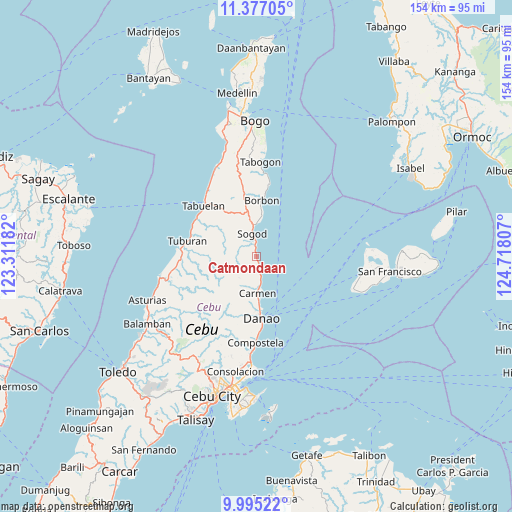
Catmondaan GPS coordinates[2]
10° 41' 12.912" North, 124° 0' 53.784" East
| Map corner | latitude | longitude |
|---|---|---|
| Upper-left | 11.37705°, | 123.31182° |
| Center: | 10.68692°, | 124.01494° |
| Lower-right: | 9.99522°, | 124.71807° |
| Map W x H: | 153.6×153.6 km | = 95.4×95.4mi |
| max Lat: | 20.78733° ⇑61.1% North |
| Catmondaan: | 10.68692° |
| min Lat: | ⇓38.9% South 4.65442° |
| min Long | Catmondaan | max Long |
| 117.04868° | 124.01494° | 126.58417° |
| W 71.3%⇐ | ⇒28.7% E |
Elevation
Elevation of Catmondaan is 20 m = 66 ft, and this is 67.9 m = 223 ft below average elevation for this country.
| Max E: |
2262 m = 7421 ft | 54.5% |
| Avg. | 87.9 m = 288 ft | |
| Catmondaan | 20 m = 66 ft | |
Min E: |
-2 m = -7 ft | 45.5% |
See also: Philippines elevation on elevation.city.
Geographical zone
Catmondaan is located in North Torrid zone (between Equator and Tropic of Cancer). Distance of Equator is 1188.3 km =738.4 mi to South.| Distance of | km | miles | from Catmondaan |
|---|---|---|---|
| North Pole | 8818.8 | 5479.7 | to North |
| Arctic Circle | 6212.9 | 3860.5 | to North |
| Tropic Cancer | 1417.6 | 880.9 | to North |
| Equator | 1188.3 | 738.4 | to South |


Nearby cities:
15 places around Catmondaan: (largest is in red/bold)
• Borbon
16.9 km =10.5 mi,  5°
5°
• Cabalawan
9.1 km =5.7 mi,  311°
311°
• Calumboyan
11.7 km =7.3 mi, 6°
• Cambanay
16.2 km =10.1 mi,  191°
191°
• Campusong
14.5 km =9 mi, 7°
• Catmon
3.7 km =2.3 mi,  333°
333°
• Cogan
10.4 km =6.5 mi,  178°
178°
• Damolog
9.6 km =6 mi,  354°
354°
• Lugo
14.8 km =9.2 mi, 347°
• Macaas
1.4 km =0.9 mi,  344°
344°
• Masaba
17.9 km =11.1 mi,  197°
197°
• Nangka
16.1 km =10 mi, 199°
• Panalipan
4.4 km =2.7 mi,  170°
170°
• Sogod
7.4 km =4.6 mi, 342°
• Tabunok
10 km =6.2 mi,  0°
0°
Sources, notices
• [Note1] Compared only with cities in Philippines existing in our database
• [Src1] Map data: © OpenStreetMap contributors (CC-BY-SA)
• [Src2] Other city data from geonames.org with taken over terms of usage.
• [Src3] Geographical zone / Annual Mean Temperature by Robert A. Rohde @ Wikipedia
