Calbiga geodata
Calbiga (Eastern Visayas) is a populated place; located in Philippines in Asia/Manila (GMT+8) time zone. With population of 2,920 people, there are 2621 cities with bigger population in this country. Compared to other cities in Philippines, 50.1% of cities are located further ↑North; 88% of cities are located further ←West and 54.5% of cities have higher elevation than Calbiga. Note1


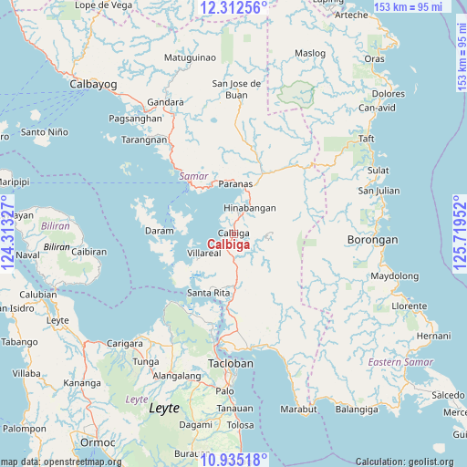
Calbiga GPS coordinates[2]
11° 37' 28.992" North, 125° 0' 59.004" East
| Map corner | latitude | longitude |
|---|---|---|
| Upper-left | 12.31256°, | 124.31327° |
| Center: | 11.62472°, | 125.01639° |
| Lower-right: | 10.93518°, | 125.71952° |
| Map W x H: | 153.2×153.2 km | = 95.2×95.2mi |
| max Lat: | 20.78733° ⇑50.1% North |
| Calbiga: | 11.62472° |
| min Lat: | ⇓49.9% South 4.65442° |
| min Long | Calbiga | max Long |
| 117.04868° | 125.01639° | 126.58417° |
| W 88%⇐ | ⇒12% E |
Elevation
Elevation of Calbiga is 20 m = 66 ft, and this is 67.9 m = 223 ft below average elevation for this country.
| Max E: |
2262 m = 7421 ft | 54.5% |
| Avg. | 87.9 m = 288 ft | |
| Calbiga | 20 m = 66 ft | |
Min E: |
-2 m = -7 ft | 45.5% |
See also: Philippines elevation on elevation.city.
Geographical zone
Calbiga is located in North Torrid zone (between Equator and Tropic of Cancer). Distance of Equator is 1292.5 km =803.1 mi to South.| Distance of | km | miles | from Calbiga |
|---|---|---|---|
| North Pole | 8714.5 | 5414.9 | to North |
| Arctic Circle | 6108.6 | 3795.7 | to North |
| Tropic Cancer | 1313.4 | 816.1 | to North |
| Equator | 1292.5 | 803.1 | to South |


Nearby cities:
15 places around Calbiga: (largest is in red/bold)
• Catbalogan
21.9 km =13.6 mi,  319°
319°
• Daram
24.2 km =15 mi,  272°
272°
• Jiabong
16.9 km =10.5 mi,  335°
335°
• Mabini
28.3 km =17.6 mi,  144°
144°
• Motiong
17.4 km =10.8 mi,  353°
353°
• Pangdan
17.2 km =10.7 mi, 320°
• Paranas
27.3 km =17 mi,  23°
23°
• San Sebastian
9.5 km =5.9 mi,  1°
1°
• Santa Rita
21 km =13 mi,  202°
202°
• Silanga
28.6 km =17.8 mi, 318°
• Talalora
22.3 km =13.9 mi,  241°
241°
• Tutubigan
24.4 km =15.2 mi,  11°
11°
• Villareal
11.6 km =7.2 mi, 235°
• Wright
16.2 km =10.1 mi, 2°
• Zumarraga
19.1 km =11.9 mi, 274°
Sources, notices
• [Note1] Compared only with cities in Philippines existing in our database
• [Src1] Map data: © OpenStreetMap contributors (CC-BY-SA)
• [Src2] Other city data from geonames.org with taken over terms of usage.
• [Src3] Geographical zone / Annual Mean Temperature by Robert A. Rohde @ Wikipedia
