Bungsuan geodata
Bungsuan (Western Visayas) is a populated place; located in Philippines in Asia/Manila (GMT+8) time zone. With population of 4,089 people, there are 1671 cities with bigger population in this country. Compared to other cities in Philippines, 54% of cities are located further ↑North; 51.5% of cities are located further →East and 61.5% of cities have lower elevation than Bungsuan. Note1


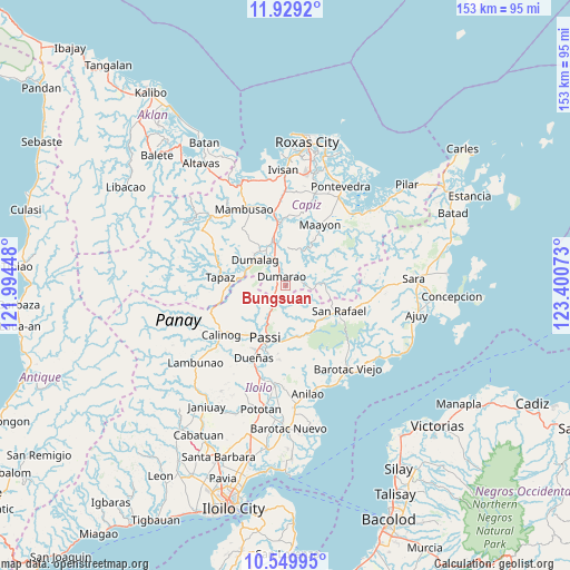
Bungsuan GPS coordinates[2]
11° 14' 25.44" North, 122° 41' 51.36" East
| Map corner | latitude | longitude |
|---|---|---|
| Upper-left | 11.9292°, | 121.99448° |
| Center: | 11.2404°, | 122.6976° |
| Lower-right: | 10.54995°, | 123.40073° |
| Map W x H: | 153.4×153.4 km | = 95.3×95.3mi |
| max Lat: | 20.78733° ⇑54% North |
| Bungsuan: | 11.2404° |
| min Lat: | ⇓46% South 4.65442° |
| min Long | Bungsuan | max Long |
| 117.04868° | 122.6976° | 126.58417° |
| W 48.5%⇐ | ⇒51.5% E |
Elevation
Elevation of Bungsuan is 36 m = 118 ft, and this is 51.9 m = 170 ft below average elevation for this country.
| Max E: |
2262 m = 7421 ft | 38.5% |
| Avg. | 87.9 m = 288 ft | |
| Bungsuan | 36 m = 118 ft | |
Min E: |
-2 m = -7 ft | 61.5% |
See also: Philippines elevation on elevation.city.
Geographical zone
Bungsuan is located in North Torrid zone (between Equator and Tropic of Cancer). Distance of Equator is 1249.8 km =776.6 mi to South.| Distance of | km | miles | from Bungsuan |
|---|---|---|---|
| North Pole | 8757.2 | 5441.5 | to North |
| Arctic Circle | 6151.4 | 3822.3 | to North |
| Tropic Cancer | 1356.1 | 842.6 | to North |
| Equator | 1249.8 | 776.6 | to South |


Nearby cities:
15 places around Bungsuan: (largest is in red/bold)
• Abaca
12 km =7.5 mi,  170°
170°
• Aglalana
8 km =5 mi,  213°
213°
• Alimono
6.3 km =3.9 mi,  164°
164°
• Asturga
11.5 km =7.1 mi,  82°
82°
• Bingawan
14.2 km =8.8 mi,  266°
266°
• Consolacion
12 km =7.5 mi,  324°
324°
• Cuartero
11.6 km =7.2 mi,  344°
344°
• Dumalag
11 km =6.8 mi,  312°
312°
• Dumarao
2.9 km =1.8 mi, 341°
• Duran
11.8 km =7.3 mi,  281°
281°
• Gibato
12.8 km =8 mi,  97°
97°
• Jaguimitan
11.5 km =7.1 mi, 165°
• Manjoy
13 km =8.1 mi, 344°
• Masonogan
14.5 km =9 mi,  350°
350°
• Santa Angel
9.6 km =6 mi, 320°
Sources, notices
• [Note1] Compared only with cities in Philippines existing in our database
• [Src1] Map data: © OpenStreetMap contributors (CC-BY-SA)
• [Src2] Other city data from geonames.org with taken over terms of usage.
• [Src3] Geographical zone / Annual Mean Temperature by Robert A. Rohde @ Wikipedia
