Kapalong geodata
Kapalong (Davao) is a seat of a third-order administrative division; located in Philippines in Asia/Manila (GMT+8) time zone. In our database, there are 4166 cities with bigger population. Compared to other cities in Philippines, 84.5% of cities are located further ↑North; 94.1% of cities are located further ←West and 96.7% of cities have lower elevation than Kapalong. Note1


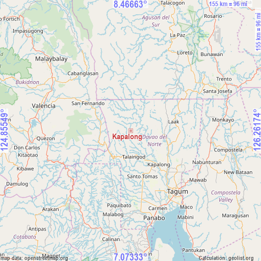
Kapalong GPS coordinates[2]
7° 46' 14.016" North, 125° 33' 30.996" East
| Map corner | latitude | longitude |
|---|---|---|
| Upper-left | 8.46663°, | 124.85549° |
| Center: | 7.77056°, | 125.55861° |
| Lower-right: | 7.07333°, | 126.26174° |
| Map W x H: | 154.9×154.9 km | = 96.3×96.3mi |
| max Lat: | 20.78733° ⇑84.5% North |
| Kapalong: | 7.77056° |
| min Lat: | ⇓15.5% South 4.65442° |
| min Long | Kapalong | max Long |
| 117.04868° | 125.55861° | 126.58417° |
| W 94.1%⇐ | ⇒5.9% E |
Elevation
Elevation of Kapalong is 577 m = 1893 ft, and this is 489.1 m = 1605 ft above average elevation for this country.
| Max E: |
2262 m = 7421 ft | 3.3% |
| Kapalong | 577 m 1893 ft | |
| Avg. | 87.9 m = 288 ft | |
Min E: |
-2 m = -7 ft | 96.7% |
See also: Philippines elevation on elevation.city.
Geographical zone
Kapalong is located in North Torrid zone (between Equator and Tropic of Cancer). Distance of Equator is 864 km =536.9 mi to South.| Distance of | km | miles | from Kapalong |
|---|---|---|---|
| North Pole | 9143.1 | 5681.3 | to North |
| Arctic Circle | 6537.2 | 4062 | to North |
| Tropic Cancer | 1741.9 | 1082.4 | to North |
| Equator | 864 | 536.9 | to South |


Nearby cities:
15 places around Kapalong: (largest is in red/bold)
• Andop
23.8 km =14.8 mi,  64°
64°
• Concepcion
17 km =10.6 mi,  97°
97°
• Gabuyan
21.8 km =13.5 mi,  146°
146°
• Gupitan
9 km =5.6 mi,  86°
86°
• Halapitan
30 km =18.6 mi,  302°
302°
• Kaligutan
29 km =18 mi, 104°
• Luna
24.7 km =15.3 mi, 150°
• New Visayas
28.4 km =17.6 mi,  165°
165°
• Pag-asa
25.7 km =16 mi, 147°
• Palma Gil
16.3 km =10.1 mi, 151°
• Sampao
22.7 km =14.1 mi, 150°
• San Vicente
29.3 km =18.2 mi,  76°
76°
• Santo Niño
17.9 km =11.1 mi,  155°
155°
• Santo Tomas
27.3 km =17 mi, 164°
• Suz-on
14.9 km =9.3 mi,  143°
143°
Sources, notices
• [Note1] Compared only with cities in Philippines existing in our database
• [Src1] Map data: © OpenStreetMap contributors (CC-BY-SA)
• [Src2] Other city data from geonames.org with taken over terms of usage.
• [Src3] Geographical zone / Annual Mean Temperature by Robert A. Rohde @ Wikipedia
