Hingorja geodata
Hingorja (Sindh) is a populated place; located in Pakistan in Asia/Karachi (GMT+5) time zone. With population of 22,263 people, there are 259 cities with bigger population in this country. Compared to other cities in Pakistan, 80.1% of cities are located further ↑North; 80.1% of cities are located further →East and 78.8% of cities have higher elevation than Hingorja. Note1


Hingorja GPS coordinates[2]
27° 12' 39.168" North, 68° 24' 57.528" East
| Map corner | latitude | longitude |
|---|---|---|
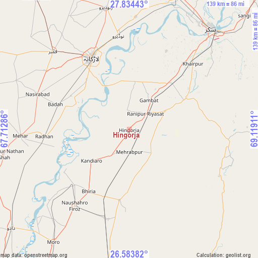
| Upper-left | 27.83443°, | 67.71286° |
| Center: | 27.21088°, | 68.41598° |
| Lower-right: | 26.58382°, | 69.11911° |
| Map W x H: | 139.1×139.1 km | = 86.4×86.4mi |
| max Lat: | 36.32162° ⇑80.1% North |
| Hingorja: | 27.21088° |
| min Lat: | ⇓19.9% South 24.14422° |
| min Long | Hingorja | max Long |
| 61.74573° | 68.41598° | 75.63372° |
| W 19.9%⇐ | ⇒80.1% E |
Elevation
Elevation of Hingorja is 55 m = 180 ft, and this is 290 m = 951 ft below average elevation for this country.
| Max E: |
2732 m = 8963 ft | 78.8% |
| Avg. | 345 m = 1132 ft | |
| Hingorja | 55 m = 180 ft | |
Min E: |
3 m = 10 ft | 21.2% |
See also: Pakistan elevation on elevation.city.
Geographical zone
Hingorja is located in North temperate zone (between Tropic of Cancer and the Arctic Circle). Distance of this Northern Tropic circle is 419.6 km =260.7 mi to South.| Distance of | km | miles | from Hingorja |
|---|---|---|---|
| North Pole | 6981.5 | 4338.1 | to North |
| Arctic Circle | 4375.6 | 2718.9 | to North |
| Tropic Cancer | 419.6 | 260.7 | to South |
| Equator | 3025.6 | 1880 | to South |


Nearby cities:
15 places around Hingorja: (largest is in red/bold)
• Bhiria
40 km =24.9 mi,  213°
213°
• Bozdar Wada
22 km =13.7 mi,  98°
98°
• Dokri
36.4 km =22.6 mi,  299°
299°
• Gambat
18.8 km =11.7 mi,  33°
33°
• Goth Garelo
41.9 km =26 mi,  306°
306°
• Kandiari
34.5 km =21.4 mi,  162°
162°
• Kandiaro
26.4 km =16.4 mi,  230°
230°
• Karaundi
34.9 km =21.7 mi,  181°
181°
• Kot Diji
32.3 km =20.1 mi,  63°
63°
• Larkana
43.6 km =27.1 mi,  332°
332°
• New Bādāh
40.6 km =25.2 mi,  290°
290°
• Ranipur
12.3 km =7.6 mi,  46°
46°
• Setharja Old
5.2 km =3.2 mi,  87°
87°
• Sobhodero
10.6 km =6.6 mi,  349°
349°
• Tharu Shah
42 km =26.1 mi,  224°
224°
Sources, notices
• [Note1] Compared only with cities in Pakistan existing in our database
• [Src1] Map data: © OpenStreetMap contributors (CC-BY-SA)
• [Src2] Other city data from geonames.org with taken over terms of usage.
• [Src3] Geographical zone / Annual Mean Temperature by Robert A. Rohde @ Wikipedia
