Khuzdar geodata
Khuzdar (Balochistan) is a populated place; located in Pakistan in Asia/Karachi (GMT+5) time zone. With population of 141,227 people, there are 45 cities with bigger population in this country. Compared to other cities in Pakistan, 75.2% of cities are located further ↑North; 96.8% of cities are located further →East and 91.9% of cities have lower elevation than Khuzdar. Note1


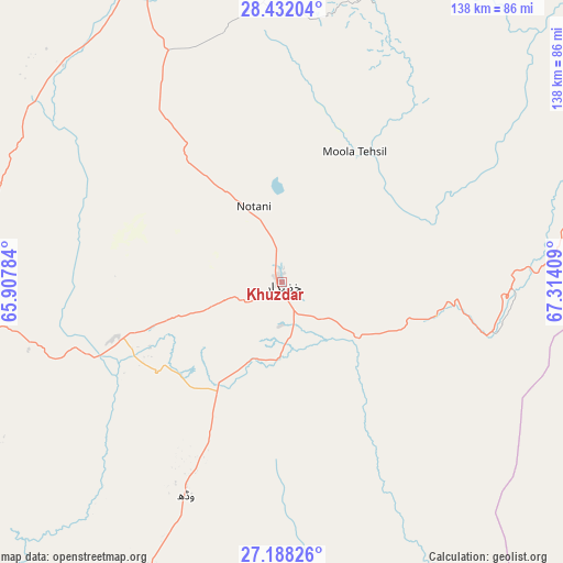
Khuzdar GPS coordinates[2]
27° 48' 42.948" North, 66° 36' 39.456" East
| Map corner | latitude | longitude |
|---|---|---|
| Upper-left | 28.43204°, | 65.90784° |
| Center: | 27.81193°, | 66.61096° |
| Lower-right: | 27.18826°, | 67.31409° |
| Map W x H: | 138.3×138.3 km | = 85.9×85.9mi |
| max Lat: | 36.32162° ⇑75.2% North |
| Khuzdar: | 27.81193° |
| min Lat: | ⇓24.8% South 24.14422° |
| min Long | Khuzdar | max Long |
| 61.74573° | 66.61096° | 75.63372° |
| W 3.2%⇐ | ⇒96.8% E |
Elevation
Elevation of Khuzdar is 1233 m = 4045 ft, and this is 888 m = 2913 ft above average elevation for this country.
| Max E: |
2732 m = 8963 ft | 8.1% |
| Khuzdar | 1233 m 4045 ft | |
| Avg. | 345 m = 1132 ft | |
Min E: |
3 m = 10 ft | 91.9% |
See also: Khuzdar elevation on elevation.city.
Geographical zone
Khuzdar is located in North temperate zone (between Tropic of Cancer and the Arctic Circle). Distance of this Northern Tropic circle is 486.5 km =302.3 mi to South.| Distance of | km | miles | from Khuzdar |
|---|---|---|---|
| North Pole | 6914.7 | 4296.6 | to North |
| Arctic Circle | 4308.8 | 2677.4 | to North |
| Tropic Cancer | 486.5 | 302.3 | to South |
| Equator | 3092.4 | 1921.5 | to South |


Nearby cities:
15 places around Khuzdar: (largest is in red/bold)
• Chowki Jamali
130.7 km =81.2 mi,  79°
79°
• Gandava
123.6 km =76.8 mi,  43°
43°
• Garhi Khairo
137.3 km =85.3 mi, 78°
• Kalat
135.1 km =83.9 mi,  359°
359°
• Kambar
139.1 km =86.4 mi,  100°
100°
• Khairpur Nathan Shah
136.9 km =85.1 mi,  125°
125°
• Kharan
145.3 km =90.3 mi,  306°
306°
• Mehar
138.4 km =86 mi,  120°
120°
• Mehrabpur
142.8 km =88.7 mi, 76°
• Miro Khan
145.8 km =90.6 mi,  92°
92°
• Nasirabad
137.3 km =85.3 mi,  110°
110°
• Shahdad Kot
127.5 km =79.2 mi, 88°
• Surab
83.2 km =51.7 mi,  335°
335°
• Usta Muhammad
146.4 km =91 mi,  73°
73°
• Warah
123.6 km =76.8 mi, 109°
Sources, notices
• [Note1] Compared only with cities in Pakistan existing in our database
• [Src1] Map data: © OpenStreetMap contributors (CC-BY-SA)
• [Src2] Other city data from geonames.org with taken over terms of usage.
• [Src3] Geographical zone / Annual Mean Temperature by Robert A. Rohde @ Wikipedia
