Rypin geodata
Rypin (Kujawsko-Pomorskie) is a seat of a second-order administrative division; located in Poland in Europe/Warsaw (GMT+2) time zone. With population of 16,589 people, there are 301 cities with bigger population in this country. Compared to other cities in Poland, 84.4% of cities are located further ↓South; 52.4% of cities are located further →East and 83.7% of cities have higher elevation than Rypin. Note1


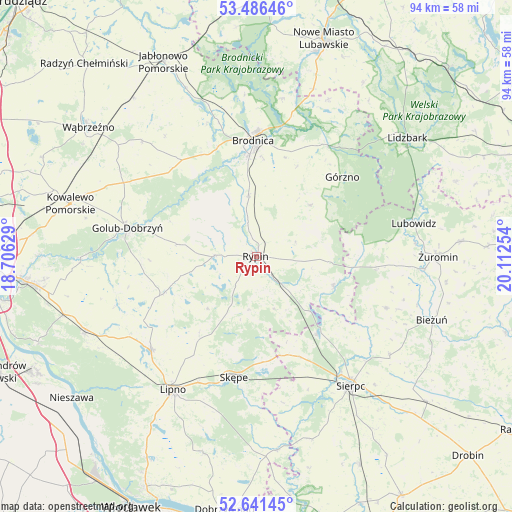
Rypin GPS coordinates[2]
53° 3' 57.708" North, 19° 24' 33.876" East
| Map corner | latitude | longitude |
|---|---|---|
| Upper-left | 53.48646°, | 18.70629° |
| Center: | 53.06603°, | 19.40941° |
| Lower-right: | 52.64145°, | 20.11254° |
| Map W x H: | 94×94 km | = 58.4×58.4mi |
| max Lat: | 54.83135° ⇑15.6% North |
| Rypin: | 53.06603° |
| min Lat: | ⇓84.4% South 49.21328° |
| min Long | Rypin | max Long |
| 14.20249° | 19.40941° | 24.03723° |
| W 47.6%⇐ | ⇒52.4% E |
Elevation
Elevation of Rypin is 92 m = 302 ft, and this is 99.4 m = 326 ft below average elevation for this country.
| Max E: |
974 m = 3196 ft | 83.7% |
| Avg. | 191.4 m = 628 ft | |
| Rypin | 92 m = 302 ft | |
Min E: |
-3 m = -10 ft | 16.3% |
See also: Poland elevation on elevation.city.
Geographical zone
Rypin is located in North temperate zone (between Tropic of Cancer and the Arctic Circle). Distance of this North polar circle is 1500.8 km =932.6 mi to North.| Distance of | km | miles | from Rypin |
|---|---|---|---|
| North Pole | 4106.7 | 2551.8 | to North |
| Arctic Circle | 1500.8 | 932.6 | to North |
| Tropic Cancer | 3294.5 | 2047.1 | to South |
| Equator | 5900.4 | 3666.3 | to South |


Nearby cities:
15 places around Rypin: (largest is in red/bold)
• Brodnica
21.5 km =13.4 mi,  357°
357°
• Brzuze
9.9 km =6.2 mi,  262°
262°
• Chrostkowo
17.1 km =10.6 mi,  217°
217°
• Górzno
21.4 km =13.3 mi,  46°
46°
• Janowo
14.1 km =8.8 mi, 53°
• Osiek
11.6 km =7.2 mi,  352°
352°
• Ostrowite
7.8 km =4.8 mi,  272°
272°
• Radomin
14.6 km =9.1 mi,  279°
279°
• Rogowo
10 km =6.2 mi,  189°
189°
• Skrwilno
15.4 km =9.6 mi,  111°
111°
• Szczutowo
17.8 km =11.1 mi,  141°
141°
• Wielgie
21.8 km =13.5 mi,  251°
251°
• Wąpielsk
11.8 km =7.3 mi,  312°
312°
• Zbójno
18 km =11.2 mi, 249°
• Świedziebnia
13.6 km =8.5 mi, 45°
Sources, notices
• [Note1] Compared only with cities in Poland existing in our database
• [Src1] Map data: © OpenStreetMap contributors (CC-BY-SA)
• [Src2] Other city data from geonames.org with taken over terms of usage.
• [Src3] Geographical zone / Annual Mean Temperature by Robert A. Rohde @ Wikipedia
