Łupawa geodata
Łupawa (Pomerania) is a populated place; located in Poland in Europe/Warsaw (GMT+2) time zone. With population of 730 people, there are 3006 cities with bigger population in this country. Compared to other cities in Poland, 98.4% of cities are located further ↓South; 80.5% of cities are located further →East and 91.3% of cities have higher elevation than Łupawa. Note1


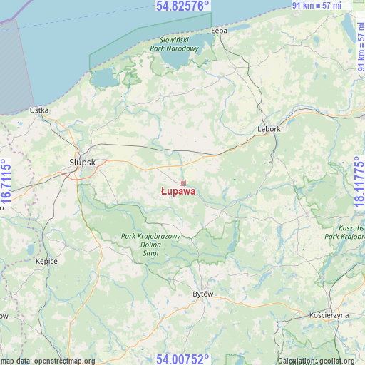
Łupawa GPS coordinates[2]
54° 25' 7.248" North, 17° 24' 52.632" East
| Map corner | latitude | longitude |
|---|---|---|
| Upper-left | 54.82576°, | 16.7115° |
| Center: | 54.41868°, | 17.41462° |
| Lower-right: | 54.00752°, | 18.11775° |
| Map W x H: | 91×91 km | = 56.5×56.5mi |
| max Lat: | 54.83135° ⇑1.6% North |
| Łupawa: | 54.41868° |
| min Lat: | ⇓98.4% South 49.21328° |
| min Long | Łupawa | max Long |
| 14.20249° | 17.41462° | 24.03723° |
| W 19.5%⇐ | ⇒80.5% E |
Elevation
Elevation of Łupawa is 69 m = 226 ft, and this is 122.4 m = 402 ft below average elevation for this country.
| Max E: |
974 m = 3196 ft | 91.3% |
| Avg. | 191.4 m = 628 ft | |
| Łupawa | 69 m = 226 ft | |
Min E: |
-3 m = -10 ft | 8.7% |
See also: Poland elevation on elevation.city.
Geographical zone
Łupawa is located in North temperate zone (between Tropic of Cancer and the Arctic Circle). Distance of this North polar circle is 1350.4 km =839.1 mi to North.| Distance of | km | miles | from Łupawa |
|---|---|---|---|
| North Pole | 3956.3 | 2458.3 | to North |
| Arctic Circle | 1350.4 | 839.1 | to North |
| Tropic Cancer | 3444.9 | 2140.6 | to South |
| Equator | 6050.8 | 3759.8 | to South |


Nearby cities:
15 places around Łupawa: (largest is in red/bold)
• Bobrowniki
13 km =8.1 mi,  337°
337°
• Borzytuchom
24.5 km =15.2 mi,  187°
187°
• Bytów
28 km =17.4 mi,  169°
169°
• Cewice
20.8 km =12.9 mi,  84°
84°
• Czarna Dąbrówka
11.9 km =7.4 mi,  125°
125°
• Damnica
13 km =8.1 mi,  314°
314°
• Dębnica Kaszubska
17 km =10.6 mi,  254°
254°
• Główczyce
22.5 km =14 mi,  353°
353°
• Kobylnica
27.1 km =16.8 mi,  274°
274°
• Kołczygłowy
23.2 km =14.4 mi,  210°
210°
• Lębork
25.5 km =15.8 mi,  58°
58°
• Maszewo Lęborskie
21.6 km =13.4 mi,  74°
74°
• Nowa Wieś Lęborska
25.5 km =15.8 mi,  52°
52°
• Potęgowo
8.5 km =5.3 mi,  32°
32°
• Słupsk
25.5 km =15.8 mi,  281°
281°
Sources, notices
• [Note1] Compared only with cities in Poland existing in our database
• [Src1] Map data: © OpenStreetMap contributors (CC-BY-SA)
• [Src2] Other city data from geonames.org with taken over terms of usage.
• [Src3] Geographical zone / Annual Mean Temperature by Robert A. Rohde @ Wikipedia
