Krzyszkowice geodata
Krzyszkowice (Lesser Poland) is a populated place; located in Poland in Europe/Warsaw (GMT+2) time zone. With population of 1,900 people, there are 1552 cities with bigger population in this country. Compared to other cities in Poland, 88.2% of cities are located further ↑North; 57% of cities are located further ←West and 76.3% of cities have lower elevation than Krzyszkowice. Note1


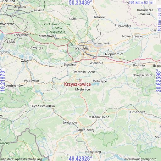
Krzyszkowice GPS coordinates[2]
49° 53' 0.456" North, 19° 55' 22.26" East
| Map corner | latitude | longitude |
|---|---|---|
| Upper-left | 50.33439°, | 19.21973° |
| Center: | 49.88346°, | 19.92285° |
| Lower-right: | 49.42828°, | 20.62598° |
| Map W x H: | 100.7×100.7 km | = 62.6×62.6mi |
| max Lat: | 54.83135° ⇑88.2% North |
| Krzyszkowice: | 49.88346° |
| min Lat: | ⇓11.8% South 49.21328° |
| min Long | Krzyszkowice | max Long |
| 14.20249° | 19.92285° | 24.03723° |
| W 57%⇐ | ⇒43% E |
Elevation
Elevation of Krzyszkowice is 251 m = 823 ft, and this is 59.6 m = 196 ft above average elevation for this country.
| Max E: |
974 m = 3196 ft | 23.7% |
| Krzyszkowice | 251 m 823 ft | |
| Avg. | 191.4 m = 628 ft | |
Min E: |
-3 m = -10 ft | 76.3% |
See also: Poland elevation on elevation.city.
Geographical zone
Krzyszkowice is located in North temperate zone (between Tropic of Cancer and the Arctic Circle). Distance of this North polar circle is 1854.7 km =1152.5 mi to North.| Distance of | km | miles | from Krzyszkowice |
|---|---|---|---|
| North Pole | 4460.5 | 2771.6 | to North |
| Arctic Circle | 1854.7 | 1152.5 | to North |
| Tropic Cancer | 2940.6 | 1827.2 | to South |
| Equator | 5546.5 | 3446.4 | to South |


Nearby cities:
15 places around Krzyszkowice: (largest is in red/bold)
• Borzęta
4.7 km =2.9 mi,  120°
120°
• Brzączowice
8.2 km =5.1 mi,  96°
96°
• Bęczarka
4 km =2.5 mi,  261°
261°
• Głogoczów
3.7 km =2.3 mi,  289°
289°
• Jawornik
3.7 km =2.3 mi,  214°
214°
• Konary
6.8 km =4.2 mi,  359°
359°
• Krzywaczka
6.6 km =4.1 mi,  279°
279°
• Mogilany
6.6 km =4.1 mi,  338°
338°
• Myślenice
5.6 km =3.5 mi,  168°
168°
• Osieczany
6.2 km =3.9 mi,  137°
137°
• Polanka
2.7 km =1.7 mi,  155°
155°
• Rudnik
6.4 km =4 mi,  237°
237°
• Rzeszotary
7.8 km =4.8 mi,  27°
27°
• Siepraw
4.3 km =2.7 mi,  36°
36°
• Świątniki Górne
6.1 km =3.8 mi,  21°
21°
Sources, notices
• [Note1] Compared only with cities in Poland existing in our database
• [Src1] Map data: © OpenStreetMap contributors (CC-BY-SA)
• [Src2] Other city data from geonames.org with taken over terms of usage.
• [Src3] Geographical zone / Annual Mean Temperature by Robert A. Rohde @ Wikipedia
