Siepraw geodata
Siepraw (Lesser Poland) is a seat of a third-order administrative division; located in Poland in Europe/Warsaw (GMT+2) time zone. With population of 4,237 people, there are 773 cities with bigger population in this country. Compared to other cities in Poland, 86.9% of cities are located further ↑North; 57.7% of cities are located further ←West and 81.7% of cities have lower elevation than Siepraw. Note1


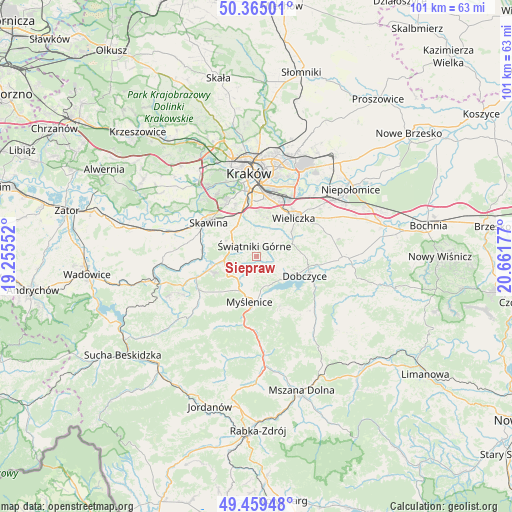
Siepraw GPS coordinates[2]
49° 54' 51.732" North, 19° 57' 31.104" East
| Map corner | latitude | longitude |
|---|---|---|
| Upper-left | 50.36501°, | 19.25552° |
| Center: | 49.91437°, | 19.95864° |
| Lower-right: | 49.45948°, | 20.66177° |
| Map W x H: | 100.7×100.7 km | = 62.6×62.6mi |
| max Lat: | 54.83135° ⇑86.9% North |
| Siepraw: | 49.91437° |
| min Lat: | ⇓13.1% South 49.21328° |
| min Long | Siepraw | max Long |
| 14.20249° | 19.95864° | 24.03723° |
| W 57.7%⇐ | ⇒42.3% E |
Elevation
Elevation of Siepraw is 274 m = 899 ft, and this is 82.6 m = 271 ft above average elevation for this country.
| Max E: |
974 m = 3196 ft | 18.3% |
| Siepraw | 274 m 899 ft | |
| Avg. | 191.4 m = 628 ft | |
Min E: |
-3 m = -10 ft | 81.7% |
See also: Poland elevation on elevation.city.
Geographical zone
Siepraw is located in North temperate zone (between Tropic of Cancer and the Arctic Circle). Distance of this North polar circle is 1851.2 km =1150.3 mi to North.| Distance of | km | miles | from Siepraw |
|---|---|---|---|
| North Pole | 4457.1 | 2769.5 | to North |
| Arctic Circle | 1851.2 | 1150.3 | to North |
| Tropic Cancer | 2944 | 1829.3 | to South |
| Equator | 5550 | 3448.6 | to South |


Nearby cities:
15 places around Siepraw: (largest is in red/bold)
• Borzęta
6 km =3.7 mi,  165°
165°
• Brzączowice
7.1 km =4.4 mi,  128°
128°
• Bęczarka
7.7 km =4.8 mi,  238°
238°
• Głogoczów
6.4 km =4 mi,  249°
249°
• Jawornik
8 km =5 mi,  215°
215°
• Konary
4.3 km =2.7 mi,  322°
322°
• Krzyszkowice
4.3 km =2.7 mi, 216°
• Libertów
7.9 km =4.9 mi, 324°
• Lusina
6.4 km =4 mi,  342°
342°
• Mogilany
5.6 km =3.5 mi,  298°
298°
• Ochojno
4.4 km =2.7 mi,  14°
14°
• Polanka
6 km =3.7 mi,  193°
193°
• Rzeszotary
3.7 km =2.3 mi,  15°
15°
• Wrząsowice
5 km =3.1 mi,  350°
350°
• Świątniki Górne
2.2 km =1.4 mi, 350°
Sources, notices
• [Note1] Compared only with cities in Poland existing in our database
• [Src1] Map data: © OpenStreetMap contributors (CC-BY-SA)
• [Src2] Other city data from geonames.org with taken over terms of usage.
• [Src3] Geographical zone / Annual Mean Temperature by Robert A. Rohde @ Wikipedia
