Czerwieńsk geodata
Czerwieńsk (Lubusz) is a seat of a third-order administrative division; located in Poland in Europe/Warsaw (GMT+2) time zone. With population of 4,197 people, there are 782 cities with bigger population in this country. Compared to other cities in Poland, 65.8% of cities are located further ↓South; 95.7% of cities are located further →East and 93.8% of cities have higher elevation than Czerwieńsk. Note1


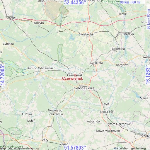
Czerwieńsk GPS coordinates[2]
52° 0' 46.404" North, 15° 25' 23.412" East
| Map corner | latitude | longitude |
|---|---|---|
| Upper-left | 52.44356°, | 14.72005° |
| Center: | 52.01289°, | 15.42317° |
| Lower-right: | 51.57803°, | 16.1263° |
| Map W x H: | 96.2×96.2 km | = 59.8×59.8mi |
| max Lat: | 54.83135° ⇑34.2% North |
| Czerwieńsk: | 52.01289° |
| min Lat: | ⇓65.8% South 49.21328° |
| min Long | Czerwieńsk | max Long |
| 14.20249° | 15.42317° | 24.03723° |
| W 4.3%⇐ | ⇒95.7% E |
Elevation
Elevation of Czerwieńsk is 55 m = 180 ft, and this is 136.4 m = 448 ft below average elevation for this country.
| Max E: |
974 m = 3196 ft | 93.8% |
| Avg. | 191.4 m = 628 ft | |
| Czerwieńsk | 55 m = 180 ft | |
Min E: |
-3 m = -10 ft | 6.2% |
See also: Poland elevation on elevation.city.
Geographical zone
Czerwieńsk is located in North temperate zone (between Tropic of Cancer and the Arctic Circle). Distance of this North polar circle is 1617.9 km =1005.3 mi to North.| Distance of | km | miles | from Czerwieńsk |
|---|---|---|---|
| North Pole | 4223.8 | 2624.5 | to North |
| Arctic Circle | 1617.9 | 1005.3 | to North |
| Tropic Cancer | 3177.4 | 1974.3 | to South |
| Equator | 5783.3 | 3593.6 | to South |


Nearby cities:
15 places around Czerwieńsk: (largest is in red/bold)
• Brody
5.4 km =3.4 mi,  8°
8°
• Cigacice
13.3 km =8.3 mi,  78°
78°
• Dąbie
18.5 km =11.5 mi,  269°
269°
• Kaczeniec
21.6 km =13.4 mi,  195°
195°
• Kije
12.5 km =7.8 mi,  40°
40°
• Międzylesie
14.9 km =9.3 mi,  349°
349°
• Niwiska
21.5 km =13.4 mi,  185°
185°
• Ochla
15.2 km =9.4 mi,  167°
167°
• Ploty
3.1 km =1.9 mi, 192°
• Skąpe
15.8 km =9.8 mi, 8°
• Sulechów
15.9 km =9.9 mi,  60°
60°
• Trzebiechów
21.4 km =13.3 mi,  87°
87°
• Zabór
21.2 km =13.2 mi,  108°
108°
• Zielona Góra
10.3 km =6.4 mi,  146°
146°
• Świdnica
14 km =8.7 mi, 189°
Sources, notices
• [Note1] Compared only with cities in Poland existing in our database
• [Src1] Map data: © OpenStreetMap contributors (CC-BY-SA)
• [Src2] Other city data from geonames.org with taken over terms of usage.
• [Src3] Geographical zone / Annual Mean Temperature by Robert A. Rohde @ Wikipedia
