Boleszkowice geodata
Boleszkowice (West Pomerania) is a seat of a third-order administrative division; located in Poland in Europe/Warsaw (GMT+2) time zone. With population of 1,316 people, there are 2043 cities with bigger population in this country. Compared to other cities in Poland, 79.7% of cities are located further ↓South; 99.5% of cities are located further →East and 94.4% of cities have higher elevation than Boleszkowice. Note1
Administrative division(s):
- Level 1: West Pomerania
- Level 2: Powiat myśliborski
- Level 3: Boleszkowice


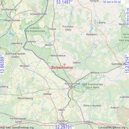
Boleszkowice GPS coordinates[2]
52° 43' 29.748" North, 14° 34' 8.436" East
| Map corner | latitude | longitude |
|---|---|---|
| Upper-left | 53.1487°, | 13.86589° |
| Center: | 52.72493°, | 14.56901° |
| Lower-right: | 52.29701°, | 15.27214° |
| Map W x H: | 94.7×94.7 km | = 58.8×58.8mi |
| max Lat: | 54.83135° ⇑20.3% North |
| Boleszkowice: | 52.72493° |
| min Lat: | ⇓79.7% South 49.21328° |
| min Long | Boleszkowice | max Long |
| 14.20249° | 14.56901° | 24.03723° |
| W 0.5%⇐ | ⇒99.5% E |
Elevation
Elevation of Boleszkowice is 49 m = 161 ft, and this is 142.4 m = 467 ft below average elevation for this country.
| Max E: |
974 m = 3196 ft | 94.4% |
| Avg. | 191.4 m = 628 ft | |
| Boleszkowice | 49 m = 161 ft | |
Min E: |
-3 m = -10 ft | 5.6% |
See also: Poland elevation on elevation.city.
Geographical zone
Boleszkowice is located in North temperate zone (between Tropic of Cancer and the Arctic Circle). Distance of this North polar circle is 1538.7 km =956.1 mi to North.| Distance of | km | miles | from Boleszkowice |
|---|---|---|---|
| North Pole | 4144.6 | 2575.3 | to North |
| Arctic Circle | 1538.7 | 956.1 | to North |
| Tropic Cancer | 3256.5 | 2023.5 | to South |
| Equator | 5862.5 | 3642.8 | to South |


Nearby cities:
15 places around Boleszkowice: (largest is in red/bold)
• Bielin
13.9 km =8.6 mi,  326°
326°
• Cychry
9.8 km =6.1 mi,  111°
111°
• Dargomyśl
5.6 km =3.5 mi, 111°
• Dębno
8.8 km =5.5 mi,  79°
79°
• Górzyca
26.3 km =16.3 mi,  167°
167°
• Kostrzyn nad Odrą
16.3 km =10.1 mi,  160°
160°
• Lubiszyn
26.2 km =16.3 mi, 76°
• Mieszkowice
8.6 km =5.3 mi,  323°
323°
• Moryń
18.9 km =11.7 mi, 321°
• Oborzany
6.7 km =4.2 mi, 77°
• Sarbinowo
10.4 km =6.5 mi,  136°
136°
• Słońsk
24 km =14.9 mi, 138°
• Troszyn
5.2 km =3.2 mi,  353°
353°
• Witnica
17.4 km =10.8 mi,  338°
338°
• Witnica
22.9 km =14.2 mi,  104°
104°
Sources, notices
• [Note1] Compared only with cities in Poland existing in our database
• [Src1] Map data: © OpenStreetMap contributors (CC-BY-SA)
• [Src2] Other city data from geonames.org with taken over terms of usage.
• [Src3] Geographical zone / Annual Mean Temperature by Robert A. Rohde @ Wikipedia
