Bielawy geodata
Bielawy (Łódź Voivodeship) is a seat of a third-order administrative division; located in Poland in Europe/Warsaw (GMT+2) time zone. With population of 620 people, there are 3226 cities with bigger population in this country. Compared to other cities in Poland, 67% of cities are located further ↓South; 51.9% of cities are located further ←West and 80.2% of cities have higher elevation than Bielawy. Note1


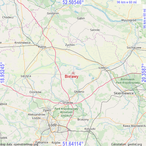
Bielawy GPS coordinates[2]
52° 4' 31.404" North, 19° 39' 20.052" East
| Map corner | latitude | longitude |
|---|---|---|
| Upper-left | 52.50546°, | 18.95245° |
| Center: | 52.07539°, | 19.65557° |
| Lower-right: | 51.64114°, | 20.3587° |
| Map W x H: | 96.1×96.1 km | = 59.7×59.7mi |
| max Lat: | 54.83135° ⇑33% North |
| Bielawy: | 52.07539° |
| min Lat: | ⇓67% South 49.21328° |
| min Long | Bielawy | max Long |
| 14.20249° | 19.65557° | 24.03723° |
| W 51.9%⇐ | ⇒48.1% E |
Elevation
Elevation of Bielawy is 99 m = 325 ft, and this is 92.4 m = 303 ft below average elevation for this country.
| Max E: |
974 m = 3196 ft | 80.2% |
| Avg. | 191.4 m = 628 ft | |
| Bielawy | 99 m = 325 ft | |
Min E: |
-3 m = -10 ft | 19.8% |
See also: Poland elevation on elevation.city.
Geographical zone
Bielawy is located in North temperate zone (between Tropic of Cancer and the Arctic Circle). Distance of this North polar circle is 1610.9 km =1001 mi to North.| Distance of | km | miles | from Bielawy |
|---|---|---|---|
| North Pole | 4216.8 | 2620.2 | to North |
| Arctic Circle | 1610.9 | 1001 | to North |
| Tropic Cancer | 3184.3 | 1978.6 | to South |
| Equator | 5790.2 | 3597.9 | to South |


Nearby cities:
15 places around Bielawy: (largest is in red/bold)
• Bedlno
15.7 km =9.8 mi,  339°
339°
• Dmosin
18.2 km =11.3 mi,  157°
157°
• Domaniewice
12.7 km =7.9 mi,  127°
127°
• Głowno
13 km =8.1 mi, 161°
• Krzyżanów
18.2 km =11.3 mi,  311°
311°
• Nowe Zduny
12.9 km =8 mi,  53°
53°
• Oporów
21.9 km =13.6 mi, 343°
• Piątek
12 km =7.5 mi,  266°
266°
• Rogoźno
11.4 km =7.1 mi,  109°
109°
• Stryków
19.6 km =12.2 mi,  190°
190°
• Szczawin
22.6 km =14 mi,  210°
210°
• Zduny
14.2 km =8.8 mi, 50°
• Łowicz
20.1 km =12.5 mi,  79°
79°
• Łyszkowice
19.9 km =12.4 mi,  120°
120°
• Żychlin
18.9 km =11.7 mi,  353°
353°
Sources, notices
• [Note1] Compared only with cities in Poland existing in our database
• [Src1] Map data: © OpenStreetMap contributors (CC-BY-SA)
• [Src2] Other city data from geonames.org with taken over terms of usage.
• [Src3] Geographical zone / Annual Mean Temperature by Robert A. Rohde @ Wikipedia
