Oporów geodata
Oporów (Łódź Voivodeship) is a seat of a third-order administrative division; located in Poland in Europe/Warsaw (GMT+2) time zone. With population of 280 people, there are 3629 cities with bigger population in this country. Compared to other cities in Poland, 71.8% of cities are located further ↓South; 50% of cities are located further ←West and 79.8% of cities have higher elevation than Oporów. Note1


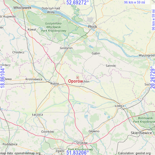
Oporów GPS coordinates[2]
52° 15' 52.128" North, 19° 33' 50.976" East
| Map corner | latitude | longitude |
|---|---|---|
| Upper-left | 52.69272°, | 18.86104° |
| Center: | 52.26448°, | 19.56416° |
| Lower-right: | 51.83206°, | 20.26729° |
| Map W x H: | 95.7×95.7 km | = 59.5×59.5mi |
| max Lat: | 54.83135° ⇑28.2% North |
| Oporów: | 52.26448° |
| min Lat: | ⇓71.8% South 49.21328° |
| min Long | Oporów | max Long |
| 14.20249° | 19.56416° | 24.03723° |
| W 50%⇐ | ⇒50% E |
Elevation
Elevation of Oporów is 100 m = 328 ft, and this is 91.4 m = 300 ft below average elevation for this country.
| Max E: |
974 m = 3196 ft | 79.8% |
| Avg. | 191.4 m = 628 ft | |
| Oporów | 100 m = 328 ft | |
Min E: |
-3 m = -10 ft | 20.2% |
See also: Poland elevation on elevation.city.
Geographical zone
Oporów is located in North temperate zone (between Tropic of Cancer and the Arctic Circle). Distance of this North polar circle is 1589.9 km =987.9 mi to North.| Distance of | km | miles | from Oporów |
|---|---|---|---|
| North Pole | 4195.8 | 2607.1 | to North |
| Arctic Circle | 1589.9 | 987.9 | to North |
| Tropic Cancer | 3205.3 | 1991.7 | to South |
| Equator | 5811.3 | 3611 | to South |


Nearby cities:
15 places around Oporów: (largest is in red/bold)
• Bedlno
6.3 km =3.9 mi,  172°
172°
• Bielawy
21.9 km =13.6 mi,  163°
163°
• Gostynin
19.6 km =12.2 mi,  339°
339°
• Gąbin
18.9 km =11.7 mi,  37°
37°
• Kiernozia
20.9 km =13 mi,  88°
88°
• Krzyżanów
11.6 km =7.2 mi,  219°
219°
• Kutno
14.1 km =8.8 mi,  254°
254°
• Nowe Zduny
21.3 km =13.2 mi,  128°
128°
• Pacyna
10.8 km =6.7 mi,  66°
66°
• Sanniki
21.9 km =13.6 mi, 70°
• Strzelce
12.1 km =7.5 mi,  297°
297°
• Witonia
22.2 km =13.8 mi,  233°
233°
• Zduny
21 km =13 mi, 125°
• Łanięta
22.1 km =13.7 mi, 299°
• Żychlin
4.8 km =3 mi,  118°
118°
Sources, notices
• [Note1] Compared only with cities in Poland existing in our database
• [Src1] Map data: © OpenStreetMap contributors (CC-BY-SA)
• [Src2] Other city data from geonames.org with taken over terms of usage.
• [Src3] Geographical zone / Annual Mean Temperature by Robert A. Rohde @ Wikipedia
