Poraż geodata
Poraż (Subcarpathian) is a populated place; located in Poland in Europe/Warsaw (GMT+2) time zone. With population of 1,400 people, there are 1959 cities with bigger population in this country. Compared to other cities in Poland, 98.4% of cities are located further ↑North; 87.6% of cities are located further ←West and 93.8% of cities have lower elevation than Poraż. Note1


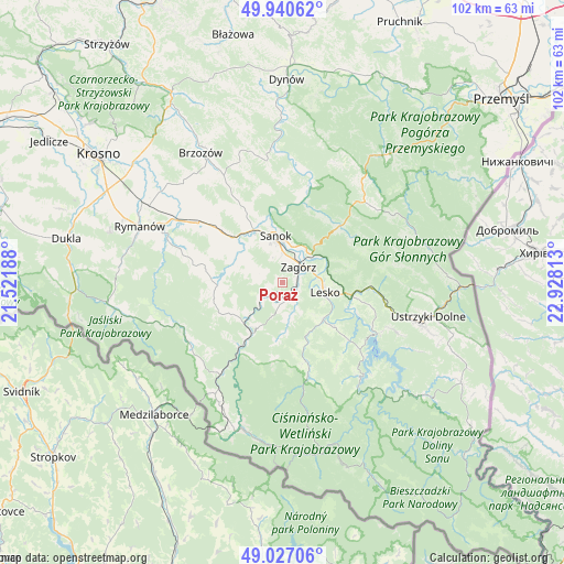
Poraż GPS coordinates[2]
49° 29' 9.492" North, 22° 13' 30" East
| Map corner | latitude | longitude |
|---|---|---|
| Upper-left | 49.94062°, | 21.52188° |
| Center: | 49.48597°, | 22.225° |
| Lower-right: | 49.02706°, | 22.92813° |
| Map W x H: | 101.6×101.6 km | = 63.1×63.1mi |
| max Lat: | 54.83135° ⇑98.4% North |
| Poraż: | 49.48597° |
| min Lat: | ⇓1.6% South 49.21328° |
| min Long | Poraż | max Long |
| 14.20249° | 22.225° | 24.03723° |
| W 87.6%⇐ | ⇒12.4% E |
Elevation
Elevation of Poraż is 384 m = 1260 ft, and this is 192.6 m = 632 ft above average elevation for this country.
| Max E: |
974 m = 3196 ft | 6.2% |
| Poraż | 384 m 1260 ft | |
| Avg. | 191.4 m = 628 ft | |
Min E: |
-3 m = -10 ft | 93.8% |
See also: Poland elevation on elevation.city.
Geographical zone
Poraż is located in North temperate zone (between Tropic of Cancer and the Arctic Circle). Distance of this North polar circle is 1898.9 km =1179.9 mi to North.| Distance of | km | miles | from Poraż |
|---|---|---|---|
| North Pole | 4504.7 | 2799.1 | to North |
| Arctic Circle | 1898.9 | 1179.9 | to North |
| Tropic Cancer | 2896.4 | 1799.7 | to South |
| Equator | 5502.3 | 3419 | to South |


Nearby cities:
15 places around Poraż: (largest is in red/bold)
• Bukowsko
11.7 km =7.3 mi,  266°
266°
• Czaszyn
4.2 km =2.6 mi,  188°
188°
• Kostarowce
13.7 km =8.5 mi,  324°
324°
• Lesko
7.8 km =4.8 mi,  103°
103°
• Myczkowce
14.4 km =8.9 mi,  111°
111°
• Niebieszczany
5.3 km =3.3 mi,  291°
291°
• Nowosielce-Gniewosz
14.5 km =9 mi,  309°
309°
• Pielnia
13.7 km =8.5 mi, 294°
• Pisarowce
12.3 km =7.6 mi, 310°
• Sanok
7.9 km =4.9 mi,  349°
349°
• Tarnawa Dolna
2.6 km =1.6 mi, 112°
• Tarnawa Górna
3.9 km =2.4 mi,  144°
144°
• Uherce Mineralne
12.7 km =7.9 mi, 100°
• Zagórz
4.4 km =2.7 mi,  43°
43°
• Łukowe
6.6 km =4.1 mi,  170°
170°
Sources, notices
• [Note1] Compared only with cities in Poland existing in our database
• [Src1] Map data: © OpenStreetMap contributors (CC-BY-SA)
• [Src2] Other city data from geonames.org with taken over terms of usage.
• [Src3] Geographical zone / Annual Mean Temperature by Robert A. Rohde @ Wikipedia
