Caban geodata
Caban (Aguadilla) is a populated place; located in Puerto Rico in America/Puerto_Rico (GMT-4) time zone. With population of 3,959 people, there are 84 cities with bigger population in this country. Compared to other cities in Puerto Rico, 88.4% of cities are located further ↓South; 94.2% of cities are located further →East and 83.1% of cities have lower elevation than Caban. Note1


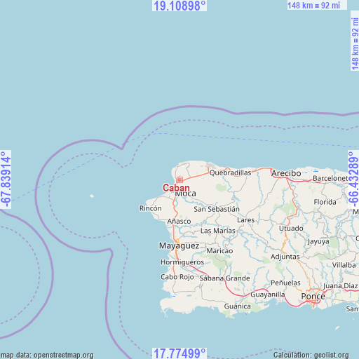
Caban GPS coordinates[2]
18° 26' 35.808" North, 67° 8' 9.636" West
| Map corner | latitude | longitude |
|---|---|---|
| Upper-left | 19.10898°, | -67.83914° |
| Center: | 18.44328°, | -67.13601° |
| Lower-right: | 17.77499°, | -66.43289° |
| Map W x H: | 148.3×148.3 km | = 92.1×92.1mi |
| max Lat: | 18.50078° ⇑11.6% North |
| Caban: | 18.44328° |
| min Lat: | ⇓88.4% South 17.95358° |
| min Long | Caban | max Long |
| -67.2499° | -67.13601° | -65.30099° |
| W 5.8%⇐ | ⇒94.2% E |
Elevation
Elevation of Caban is 173 m = 568 ft, and this is 72.5 m = 238 ft above average elevation for this country.
| Max E: |
655 m = 2149 ft | 16.9% |
| Caban | 173 m 568 ft | |
| Avg. | 100.5 m = 330 ft | |
Min E: |
1 m = 3 ft | 83.1% |
See also: Puerto Rico elevation on elevation.city.
Geographical zone
Caban is located in North Torrid zone (between Equator and Tropic of Cancer). Distance of this Northern Tropic circle is 555.2 km =345 mi to North.| Distance of | km | miles | from Caban |
|---|---|---|---|
| North Pole | 7956.4 | 4943.9 | to North |
| Arctic Circle | 5350.5 | 3324.6 | to North |
| Tropic Cancer | 555.2 | 345 | to North |
| Equator | 2050.7 | 1274.2 | to South |


Nearby cities:
15 places around Caban: (largest is in red/bold)
• Aceitunas
7.5 km =4.7 mi,  90°
90°
• Aguada
9 km =5.6 mi,  217°
217°
• Aguadilla
2.6 km =1.6 mi,  227°
227°
• Añasco
17.9 km =11.1 mi,  181°
181°
• Hato Arriba
14.5 km =9 mi,  132°
132°
• Isabela
13.4 km =8.3 mi,  61°
61°
• La Playa
18.1 km =11.2 mi,  197°
197°
• Las Marias
16.7 km =10.4 mi, 183°
• Luyando
9.1 km =5.7 mi,  194°
194°
• Moca
5.9 km =3.7 mi,  156°
156°
• Mora
11.1 km =6.9 mi,  78°
78°
• Rafael Hernandez
6.8 km =4.2 mi, 62°
• Rincón
16.6 km =10.3 mi, 226°
• San Antonio
6.7 km =4.2 mi,  36°
36°
• Stella
17.9 km =11.1 mi, 220°
Sources, notices
• [Note1] Compared only with cities in Puerto Rico existing in our database
• [Src1] Map data: © OpenStreetMap contributors (CC-BY-SA)
• [Src2] Other city data from geonames.org with taken over terms of usage.
• [Src3] Geographical zone / Annual Mean Temperature by Robert A. Rohde @ Wikipedia
