Monserrate geodata
Monserrate (Vega Baja) is a populated place; located in Puerto Rico in America/Puerto_Rico (GMT-4) time zone. With population of 2,756 people, there are 108 cities with bigger population in this country. Compared to other cities in Puerto Rico, 86.2% of cities are located further ↓South; 52.9% of cities are located further →East and 53.8% of cities have higher elevation than Monserrate. Note1


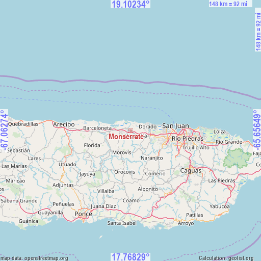
Monserrate GPS coordinates[2]
18° 26' 11.796" North, 66° 21' 34.596" West
| Map corner | latitude | longitude |
|---|---|---|
| Upper-left | 19.10234°, | -67.06274° |
| Center: | 18.43661°, | -66.35961° |
| Lower-right: | 17.76829°, | -65.65649° |
| Map W x H: | 148.3×148.3 km | = 92.1×92.1mi |
| max Lat: | 18.50078° ⇑13.8% North |
| Monserrate: | 18.43661° |
| min Lat: | ⇓86.2% South 17.95358° |
| min Long | Monserrate | max Long |
| -67.2499° | -66.35961° | -65.30099° |
| W 47.1%⇐ | ⇒52.9% E |
Elevation
Elevation of Monserrate is 40 m = 131 ft, and this is 60.5 m = 198 ft below average elevation for this country.
| Max E: |
655 m = 2149 ft | 53.8% |
| Avg. | 100.5 m = 330 ft | |
| Monserrate | 40 m = 131 ft | |
Min E: |
1 m = 3 ft | 46.2% |
See also: Puerto Rico elevation on elevation.city.
Geographical zone
Monserrate is located in North Torrid zone (between Equator and Tropic of Cancer). Distance of this Northern Tropic circle is 556 km =345.5 mi to North.| Distance of | km | miles | from Monserrate |
|---|---|---|---|
| North Pole | 7957.1 | 4944.3 | to North |
| Arctic Circle | 5351.2 | 3325.1 | to North |
| Tropic Cancer | 556 | 345.5 | to North |
| Equator | 2050 | 1273.8 | to South |


Nearby cities:
15 places around Monserrate: (largest is in red/bold)
• Brenas
3.9 km =2.4 mi,  30°
30°
• Ceiba
1.4 km =0.9 mi,  40°
40°
• Corozal
11.5 km =7.1 mi,  156°
156°
• Coto Norte
8.5 km =5.3 mi,  265°
265°
• Dorado
10 km =6.2 mi,  75°
75°
• Franquez
12.9 km =8 mi,  213°
213°
• Miranda
6.1 km =3.8 mi,  204°
204°
• Río Lajas
10.8 km =6.7 mi,  115°
115°
• Sabana
2.7 km =1.7 mi,  2°
2°
• San Antonio
6.2 km =3.9 mi, 77°
• San José
11.8 km =7.3 mi,  111°
111°
• Toa Alta
12.9 km =8 mi, 114°
• Toa Baja
10.6 km =6.6 mi,  85°
85°
• Vega Alta
4 km =2.5 mi,  132°
132°
• Vega Baja
3.1 km =1.9 mi,  286°
286°
Sources, notices
• [Note1] Compared only with cities in Puerto Rico existing in our database
• [Src1] Map data: © OpenStreetMap contributors (CC-BY-SA)
• [Src2] Other city data from geonames.org with taken over terms of usage.
• [Src3] Geographical zone / Annual Mean Temperature by Robert A. Rohde @ Wikipedia
