Milharado geodata
Milharado (Lisbon) is a populated place; located in Portugal in Europe/Lisbon (GMT+1) time zone. With population of 5,935 people, there are 365 cities with bigger population in this country. Compared to other cities in Portugal, 65.4% of cities are located further ↑North; 82.6% of cities are located further →East and 71.8% of cities have lower elevation than Milharado. Note1


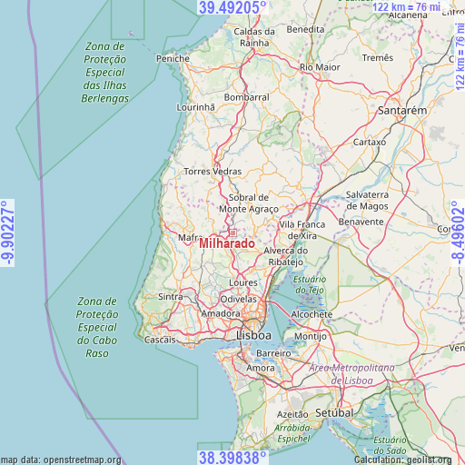
Milharado GPS coordinates[2]
38° 56' 50.352" North, 9° 11' 56.904" West
| Map corner | latitude | longitude |
|---|---|---|
| Upper-left | 39.49205°, | -9.90227° |
| Center: | 38.94732°, | -9.19914° |
| Lower-right: | 38.39838°, | -8.49602° |
| Map W x H: | 121.6×121.6 km | = 75.6×75.6mi |
| max Lat: | 42.11337° ⇑65.4% North |
| Milharado: | 38.94732° |
| min Lat: | ⇓34.6% South 32.6448° |
| min Long | Milharado | max Long |
| -31.17847° | -9.19914° | -6.27308° |
| W 17.4%⇐ | ⇒82.6% E |
Elevation
Elevation of Milharado is 211 m = 692 ft, and this is 34 m = 112 ft above average elevation for this country.
| Max E: |
1008 m = 3307 ft | 28.2% |
| Milharado | 211 m 692 ft | |
| Avg. | 177 m = 581 ft | |
Min E: |
-128 m = -420 ft | 71.8% |
See also: Portugal elevation on elevation.city.
Geographical zone
Milharado is located in North temperate zone (between Tropic of Cancer and the Arctic Circle). Distance of this Northern Tropic circle is 1724.6 km =1071.6 mi to South.| Distance of | km | miles | from Milharado |
|---|---|---|---|
| North Pole | 5676.5 | 3527.2 | to North |
| Arctic Circle | 3070.6 | 1908 | to North |
| Tropic Cancer | 1724.6 | 1071.6 | to South |
| Equator | 4330.5 | 2690.8 | to South |


Nearby cities:
15 places around Milharado: (largest is in red/bold)
• Almargem
13.1 km =8.1 mi,  209°
209°
• Arranhó
5.6 km =3.5 mi,  82°
82°
• Arruda dos Vinhos
11.3 km =7 mi,  68°
68°
• Bucelas
8.6 km =5.3 mi,  126°
126°
• Loures
13.2 km =8.2 mi,  168°
168°
• Mafra
11.2 km =7 mi,  264°
264°
• Malveira
5.3 km =3.3 mi,  251°
251°
• Pereiro da Palhacana
13.1 km =8.1 mi,  35°
35°
• Pero Pinheiro
14.7 km =9.1 mi,  227°
227°
• Póvoa de Santa Iria
15.1 km =9.4 mi, 129°
• Santa Iria da Azóia
14.6 km =9.1 mi,  143°
143°
• Santo Antão do Tojal
11.8 km =7.3 mi,  154°
154°
• Sobral de Monte Agraço
9.1 km =5.7 mi,  27°
27°
• Venda do Pinheiro
3.9 km =2.4 mi, 227°
• Vialonga
13.4 km =8.3 mi, 128°
Sources, notices
• [Note1] Compared only with cities in Portugal existing in our database
• [Src1] Map data: © OpenStreetMap contributors (CC-BY-SA)
• [Src2] Other city data from geonames.org with taken over terms of usage.
• [Src3] Geographical zone / Annual Mean Temperature by Robert A. Rohde @ Wikipedia
