Teliu geodata
Teliu (Braşov) is a seat of a second-order administrative division; located in Romania in Europe/Bucharest (GMT+3) time zone. With population of 3,485 people, there are 1434 cities with bigger population in this country. Compared to other cities in Romania, 52.1% of cities are located further ↑North; 60.3% of cities are located further ←West and 91.6% of cities have lower elevation than Teliu. Note1


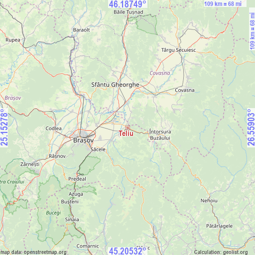
Teliu GPS coordinates[2]
45° 41' 54.816" North, 25° 51' 21.24" East
| Map corner | latitude | longitude |
|---|---|---|
| Upper-left | 46.18749°, | 25.15278° |
| Center: | 45.69856°, | 25.8559° |
| Lower-right: | 45.20532°, | 26.55903° |
| Map W x H: | 109.2×109.2 km | = 67.9×67.9mi |
| max Lat: | 48.23793° ⇑52.1% North |
| Teliu: | 45.69856° |
| min Lat: | ⇓47.9% South 43.65638° |
| min Long | Teliu | max Long |
| 20.31667° | 25.8559° | 29.65403° |
| W 60.3%⇐ | ⇒39.7% E |
Elevation
Elevation of Teliu is 543 m = 1781 ft, and this is 288.1 m = 945 ft above average elevation for this country.
| Max E: |
1278 m = 4193 ft | 8.4% |
| Teliu | 543 m 1781 ft | |
| Avg. | 254.9 m = 836 ft | |
Min E: |
-2 m = -7 ft | 91.6% |
See also: Romania elevation on elevation.city.
Geographical zone
Teliu is located in North temperate zone (between Tropic of Cancer and the Arctic Circle). Distance of this North polar circle is 2320 km =1441.6 mi to North.| Distance of | km | miles | from Teliu |
|---|---|---|---|
| North Pole | 4925.9 | 3060.8 | to North |
| Arctic Circle | 2320 | 1441.6 | to North |
| Tropic Cancer | 2475.3 | 1538.1 | to South |
| Equator | 5081.2 | 3157.3 | to South |


Nearby cities:
15 places around Teliu: (largest is in red/bold)
• Acriș
12.6 km =7.8 mi,  122°
122°
• Brădet
11.8 km =7.3 mi, 115°
• Budila
5.6 km =3.5 mi,  230°
230°
• Chichiş
10.4 km =6.5 mi,  335°
335°
• Dobolii de Jos
12 km =7.5 mi,  320°
320°
• Dobârlău
4.4 km =2.7 mi,  28°
28°
• Floroaia
12.4 km =7.7 mi,  91°
91°
• Ilieni
13.2 km =8.2 mi,  328°
328°
• Ozun
11.3 km =7 mi,  357°
357°
• Podu Oltului
12.4 km =7.7 mi,  303°
303°
• Prejmer
7.2 km =4.5 mi,  286°
286°
• Purcăreni
7.8 km =4.8 mi,  220°
220°
• Tunelu-Teliu
0.5 km =0.3 mi, 289°
• Tărlungeni
11 km =6.8 mi, 228°
• Zizin
9.1 km =5.7 mi, 221°
Sources, notices
• [Note1] Compared only with cities in Romania existing in our database
• [Src1] Map data: © OpenStreetMap contributors (CC-BY-SA)
• [Src2] Other city data from geonames.org with taken over terms of usage.
• [Src3] Geographical zone / Annual Mean Temperature by Robert A. Rohde @ Wikipedia
