Jebel geodata
Jebel (Timiş) is a seat of a second-order administrative division; located in Romania in Europe/Bucharest (GMT+3) time zone. With population of 5,298 people, there are 696 cities with bigger population in this country. Compared to other cities in Romania, 54.2% of cities are located further ↑North; 98.7% of cities are located further →East and 83.5% of cities have higher elevation than Jebel. Note1


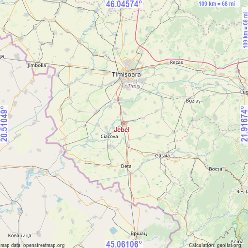
Jebel GPS coordinates[2]
45° 33' 20.016" North, 21° 12' 48.996" East
| Map corner | latitude | longitude |
|---|---|---|
| Upper-left | 46.04574°, | 20.51049° |
| Center: | 45.55556°, | 21.21361° |
| Lower-right: | 45.06106°, | 21.91674° |
| Map W x H: | 109.5×109.5 km | = 68×68mi |
| max Lat: | 48.23793° ⇑54.2% North |
| Jebel: | 45.55556° |
| min Lat: | ⇓45.8% South 43.65638° |
| min Long | Jebel | max Long |
| 20.31667° | 21.21361° | 29.65403° |
| W 1.3%⇐ | ⇒98.7% E |
Elevation
Elevation of Jebel is 83 m = 272 ft, and this is 171.9 m = 564 ft below average elevation for this country.
| Max E: |
1278 m = 4193 ft | 83.5% |
| Avg. | 254.9 m = 836 ft | |
| Jebel | 83 m = 272 ft | |
Min E: |
-2 m = -7 ft | 16.5% |
See also: Romania elevation on elevation.city.
Geographical zone
Jebel is located in North temperate zone (between Tropic of Cancer and the Arctic Circle). Distance of this North polar circle is 2335.9 km =1451.5 mi to North.| Distance of | km | miles | from Jebel |
|---|---|---|---|
| North Pole | 4941.8 | 3070.7 | to North |
| Arctic Circle | 2335.9 | 1451.5 | to North |
| Tropic Cancer | 2459.4 | 1528.2 | to South |
| Equator | 5065.3 | 3147.4 | to South |


Nearby cities:
15 places around Jebel: (largest is in red/bold)
• Cebza
11.5 km =7.1 mi,  268°
268°
• Chișoda
16.5 km =10.3 mi,  0°
0°
• Ciacova
8.5 km =5.3 mi,  231°
231°
• Ghilad
11.7 km =7.3 mi,  210°
210°
• Giroc
15.5 km =9.6 mi,  6°
6°
• Liebling
8.8 km =5.5 mi,  73°
73°
• Obad
4.7 km =2.9 mi,  249°
249°
• Opatița
16.3 km =10.1 mi,  164°
164°
• Parța
10 km =6.2 mi,  324°
324°
• Peciu Nou
13.4 km =8.3 mi,  294°
294°
• Petroman
7.9 km =4.9 mi,  258°
258°
• Pădureni
5 km =3.1 mi, 3°
• Voiteg
9.8 km =6.1 mi,  168°
168°
• Şag
10.8 km =6.7 mi,  344°
344°
• Șipet
15.5 km =9.6 mi,  110°
110°
Sources, notices
• [Note1] Compared only with cities in Romania existing in our database
• [Src1] Map data: © OpenStreetMap contributors (CC-BY-SA)
• [Src2] Other city data from geonames.org with taken over terms of usage.
• [Src3] Geographical zone / Annual Mean Temperature by Robert A. Rohde @ Wikipedia
