Žagubica geodata
Žagubica (Central Serbia) is a seat of a third-order administrative division; located in Serbia in Europe/Belgrade (GMT+2) time zone. In our database, there are 365 cities with bigger population. Compared to other cities in Serbia, 77.3% of cities are located further ↑North; 93% of cities are located further ←West and 85.9% of cities have lower elevation than Žagubica. Note1


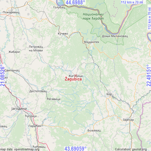
Žagubica GPS coordinates[2]
44° 11' 48.66" North, 21° 47' 18.168" East
| Map corner | latitude | longitude |
|---|---|---|
| Upper-left | 44.6988°, | 21.08526° |
| Center: | 44.19685°, | 21.78838° |
| Lower-right: | 43.69059°, | 22.49151° |
| Map W x H: | 112.1×112.1 km | = 69.7×69.7mi |
| max Lat: | 46.1° ⇑77.3% North |
| Žagubica: | 44.19685° |
| min Lat: | ⇓22.7% South 42.25846° |
| min Long | Žagubica | max Long |
| 18.9276° | 21.78838° | 22.77556° |
| W 93%⇐ | ⇒7% E |
Elevation
Elevation of Žagubica is 316 m = 1037 ft, and this is 139.6 m = 458 ft above average elevation for this country.
| Max E: |
1421 m = 4662 ft | 14.1% |
| Žagubica | 316 m 1037 ft | |
| Avg. | 176.4 m = 579 ft | |
Min E: |
49 m = 161 ft | 85.9% |
See also: Serbia elevation on elevation.city.
Geographical zone
Žagubica is located in North temperate zone (between Tropic of Cancer and the Arctic Circle). Distance of this Northern Tropic circle is 2308.3 km =1434.3 mi to South.| Distance of | km | miles | from Žagubica |
|---|---|---|---|
| North Pole | 5092.8 | 3164.5 | to North |
| Arctic Circle | 2486.9 | 1545.3 | to North |
| Tropic Cancer | 2308.3 | 1434.3 | to South |
| Equator | 4914.2 | 3053.5 | to South |


Nearby cities:
15 places around Žagubica: (largest is in red/bold)
• Boljevac
42.8 km =26.6 mi,  162°
162°
• Bor
28 km =17.4 mi,  118°
118°
• Despotovac
29.6 km =18.4 mi,  246°
246°
• Donji Milanovac
41.6 km =25.8 mi,  44°
44°
• Duboka
36.2 km =22.5 mi,  356°
356°
• Glogovac
41.6 km =25.8 mi, 245°
• Kučevo
32.6 km =20.3 mi,  343°
343°
• Majdanpek
28.6 km =17.8 mi,  26°
26°
• Paraćin
48.2 km =30 mi,  219°
219°
• Petrovac
35.6 km =22.1 mi,  304°
304°
• Radenka
43 km =26.7 mi, 357°
• Svilajnac
47.3 km =29.4 mi,  274°
274°
• Turija
38.1 km =23.7 mi, 341°
• Ćuprija
44.9 km =27.9 mi,  228°
228°
• Ševica
35.1 km =21.8 mi,  351°
351°
Sources, notices
• [Note1] Compared only with cities in Serbia existing in our database
• [Src1] Map data: © OpenStreetMap contributors (CC-BY-SA)
• [Src2] Other city data from geonames.org with taken over terms of usage.
• [Src3] Geographical zone / Annual Mean Temperature by Robert A. Rohde @ Wikipedia
