Tankhoy geodata
Tankhoy (Buryatiya Republic) is a populated place; located in Russia in Asia/Irkutsk (GMT+8) time zone. With population of 1,028 people, there are 4617 cities with bigger population in this country. Compared to other cities in Russia, 72.1% of cities are located further ↑North; 89.8% of cities are located further ←West and 90.7% of cities have lower elevation than Tankhoy. Note1


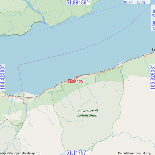
Tankhoy GPS coordinates[2]
51° 33' 24.588" North, 105° 7' 34.32" East
| Map corner | latitude | longitude |
|---|---|---|
| Upper-left | 51.99189°, | 104.42308° |
| Center: | 51.55683°, | 105.1262° |
| Lower-right: | 51.11757°, | 105.82933° |
| Map W x H: | 97.2×97.2 km | = 60.4×60.4mi |
| max Lat: | 73.50819° ⇑72.1% North |
| Tankhoy: | 51.55683° |
| min Lat: | ⇓27.9% South 41.28413° |
| min Long | Tankhoy | max Long |
| -179.12198° | 105.1262° | 179.35046° |
| W 89.8%⇐ | ⇒10.2% E |
Elevation
Elevation of Tankhoy is 471 m = 1545 ft, and this is 268.4 m = 881 ft above average elevation for this country.
| Max E: |
2518 m = 8261 ft | 9.3% |
| Tankhoy | 471 m 1545 ft | |
| Avg. | 202.6 m = 665 ft | |
Min E: |
-28 m = -92 ft | 90.7% |
See also: Russia elevation on elevation.city.
Geographical zone
Tankhoy is located in North temperate zone (between Tropic of Cancer and the Arctic Circle). Distance of this North polar circle is 1668.6 km =1036.8 mi to North.| Distance of | km | miles | from Tankhoy |
|---|---|---|---|
| North Pole | 4274.5 | 2656.1 | to North |
| Arctic Circle | 1668.6 | 1036.8 | to North |
| Tropic Cancer | 3126.7 | 1942.8 | to South |
| Equator | 5732.6 | 3562.1 | to South |


Nearby cities:
15 places around Tankhoy: (largest is in red/bold)
• Babushkin
53.8 km =33.4 mi,  71°
71°
• Baykal’sk
68.4 km =42.5 mi,  266°
266°
• Bol’shaya Rechka
51.7 km =32.1 mi,  328°
328°
• Bol’shoye Goloustnoye
57.1 km =35.5 mi,  19°
19°
• Dzerzhinsk
95.1 km =59.1 mi, 327°
• Gusinoye Ozero
92.9 km =57.7 mi,  121°
121°
• Listvyanka
37.4 km =23.2 mi, 331°
• Markova
95.9 km =59.6 mi,  319°
319°
• Novolisikha
88.1 km =54.7 mi, 328°
• Pad’ Mel’nichnaya
84.4 km =52.4 mi, 322°
• Pivovarikha
92.1 km =57.2 mi, 329°
• Posol’skoye
88.8 km =55.2 mi,  54°
54°
• Rechka-Vydrino
21 km =13 mi,  249°
249°
• Utulik
73.9 km =45.9 mi, 269°
• Vydrino
35.1 km =21.8 mi, 252°
Sources, notices
• [Note1] Compared only with cities in Russia existing in our database
• [Src1] Map data: © OpenStreetMap contributors (CC-BY-SA)
• [Src2] Other city data from geonames.org with taken over terms of usage.
• [Src3] Geographical zone / Annual Mean Temperature by Robert A. Rohde @ Wikipedia
