Kirensk geodata
Kirensk (Irkutsk Oblast) is a populated place; located in Russia in Asia/Irkutsk (GMT+8) time zone. With population of 13,308 people, there are 1184 cities with bigger population in this country. Compared to other cities in Russia, 81.5% of cities are located further ↓South; 90.8% of cities are located further ←West and 80.7% of cities have lower elevation than Kirensk. Note1


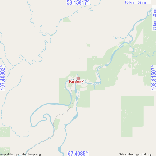
Kirensk GPS coordinates[2]
57° 47' 7.008" North, 108° 6' 42.984" East
| Map corner | latitude | longitude |
|---|---|---|
| Upper-left | 58.15817°, | 107.40882° |
| Center: | 57.78528°, | 108.11194° |
| Lower-right: | 57.4085°, | 108.81507° |
| Map W x H: | 83.4×83.4 km | = 51.8×51.8mi |
| max Lat: | 73.50819° ⇑18.5% North |
| Kirensk: | 57.78528° |
| min Lat: | ⇓81.5% South 41.28413° |
| min Long | Kirensk | max Long |
| -179.12198° | 108.11194° | 179.35046° |
| W 90.8%⇐ | ⇒9.2% E |
Elevation
Elevation of Kirensk is 254 m = 833 ft, and this is 51.4 m = 169 ft above average elevation for this country.
| Max E: |
2518 m = 8261 ft | 19.3% |
| Kirensk | 254 m 833 ft | |
| Avg. | 202.6 m = 665 ft | |
Min E: |
-28 m = -92 ft | 80.7% |
See also: Russia elevation on elevation.city.
Geographical zone
Kirensk is located in North temperate zone (between Tropic of Cancer and the Arctic Circle). Distance of this North polar circle is 976.1 km =606.5 mi to North.| Distance of | km | miles | from Kirensk |
|---|---|---|---|
| North Pole | 3581.9 | 2225.7 | to North |
| Arctic Circle | 976.1 | 606.5 | to North |
| Tropic Cancer | 3819.2 | 2373.1 | to South |
| Equator | 6425.1 | 3992.4 | to South |


Nearby cities:
13 places around Kirensk: (largest is in red/bold)
• Alekseyevskaya
18.5 km =11.5 mi,  67°
67°
• Gorno-Chuyskiy
215 km =133.6 mi,  94°
94°
• Kazachinskoye
171.6 km =106.6 mi,  190°
190°
• Kichera
238.3 km =148.1 mi,  149°
149°
• Magistral’nyy
184 km =114.3 mi, 192°
• Markovo
80 km =49.7 mi,  229°
229°
• Nizhneangarsk
238.8 km =148.4 mi,  158°
158°
• Novyy Uoyan
283.1 km =175.9 mi,  129°
129°
• Severobaykal’sk
250 km =155.3 mi, 162°
• Ust’-Kut
178.9 km =111.2 mi, 231°
• Yantal’
200.8 km =124.8 mi,  238°
238°
• Yerbogachen
388.6 km =241.5 mi,  359°
359°
• Zvëzdnyy
151.3 km =94 mi,  220°
220°
Sources, notices
• [Note1] Compared only with cities in Russia existing in our database
• [Src1] Map data: © OpenStreetMap contributors (CC-BY-SA)
• [Src2] Other city data from geonames.org with taken over terms of usage.
• [Src3] Geographical zone / Annual Mean Temperature by Robert A. Rohde @ Wikipedia
