Severobaykal’sk geodata
Severobaykal’sk (Buryatiya Republic) is a populated place; located in Russia in Asia/Irkutsk (GMT+8) time zone. With population of 25,800 people, there are 737 cities with bigger population in this country. Compared to other cities in Russia, 60.5% of cities are located further ↓South; 91.1% of cities are located further ←West and 92.5% of cities have lower elevation than Severobaykal’sk. Note1


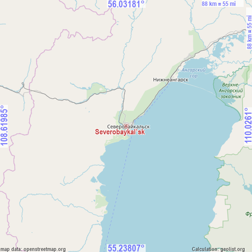
Severobaykal’sk GPS coordinates[2]
55° 38' 13.02" North, 109° 19' 22.692" East
| Map corner | latitude | longitude |
|---|---|---|
| Upper-left | 56.03181°, | 108.61985° |
| Center: | 55.63695°, | 109.32297° |
| Lower-right: | 55.23807°, | 110.0261° |
| Map W x H: | 88.3×88.3 km | = 54.9×54.9mi |
| max Lat: | 73.50819° ⇑39.5% North |
| Severobaykal’sk: | 55.63695° |
| min Lat: | ⇓60.5% South 41.28413° |
| min Long | Severobaykal’ | max Long |
| -179.12198° | 109.32297° | 179.35046° |
| W 91.1%⇐ | ⇒8.9% E |
Elevation
Elevation of Severobaykal’sk is 521 m = 1709 ft, and this is 318.4 m = 1045 ft above average elevation for this country.
| Max E: |
2518 m = 8261 ft | 7.5% |
| Severobaykal’sk | 521 m 1709 ft | |
| Avg. | 202.6 m = 665 ft | |
Min E: |
-28 m = -92 ft | 92.5% |
See also: Russia elevation on elevation.city.
Geographical zone
Severobaykal’sk is located in North temperate zone (between Tropic of Cancer and the Arctic Circle). Distance of this North polar circle is 1214.9 km =754.9 mi to North.| Distance of | km | miles | from Severobaykal’sk |
|---|---|---|---|
| North Pole | 3820.8 | 2374.1 | to North |
| Arctic Circle | 1214.9 | 754.9 | to North |
| Tropic Cancer | 3580.3 | 2224.7 | to South |
| Equator | 6186.2 | 3843.9 | to South |


Nearby cities:
15 places around Severobaykal’sk: (largest is in red/bold)
• Alekseyevskaya
252.4 km =156.8 mi,  347°
347°
• Barguzin
225.3 km =140 mi,  174°
174°
• Gorno-Chuyskiy
266.9 km =165.8 mi,  33°
33°
• Kazachinskoye
129.5 km =80.5 mi,  302°
302°
• Kichera
59.1 km =36.7 mi,  55°
55°
• Kirensk
250 km =155.3 mi,  342°
342°
• Kurumkan
159.2 km =98.9 mi,  156°
156°
• Magistral’nyy
131.5 km =81.7 mi, 296°
• Markovo
232.1 km =144.2 mi,  323°
323°
• Nizhneangarsk
23.7 km =14.7 mi,  42°
42°
• Novyy Uoyan
159.4 km =99 mi,  68°
68°
• Ust’-Barguzin
248.2 km =154.2 mi,  184°
184°
• Ust’-Kut
254.7 km =158.3 mi, 300°
• Yanchukan
226.9 km =141 mi, 72°
• Zvëzdnyy
215 km =133.6 mi,  305°
305°
Sources, notices
• [Note1] Compared only with cities in Russia existing in our database
• [Src1] Map data: © OpenStreetMap contributors (CC-BY-SA)
• [Src2] Other city data from geonames.org with taken over terms of usage.
• [Src3] Geographical zone / Annual Mean Temperature by Robert A. Rohde @ Wikipedia
