Kichera geodata
Kichera (Buryatiya Republic) is a populated place; located in Russia in Asia/Irkutsk (GMT+8) time zone. With population of 1,593 people, there are 4340 cities with bigger population in this country. Compared to other cities in Russia, 65.7% of cities are located further ↓South; 91.2% of cities are located further ←West and 91.5% of cities have lower elevation than Kichera. Note1


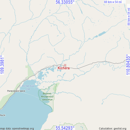
Kichera GPS coordinates[2]
55° 56' 19.464" North, 110° 6' 4.392" East
| Map corner | latitude | longitude |
|---|---|---|
| Upper-left | 56.33055°, | 109.3981° |
| Center: | 55.93874°, | 110.10122° |
| Lower-right: | 55.54293°, | 110.80435° |
| Map W x H: | 87.6×87.6 km | = 54.4×54.4mi |
| max Lat: | 73.50819° ⇑34.3% North |
| Kichera: | 55.93874° |
| min Lat: | ⇓65.7% South 41.28413° |
| min Long | Kichera | max Long |
| -179.12198° | 110.10122° | 179.35046° |
| W 91.2%⇐ | ⇒8.8% E |
Elevation
Elevation of Kichera is 489 m = 1604 ft, and this is 286.4 m = 940 ft above average elevation for this country.
| Max E: |
2518 m = 8261 ft | 8.5% |
| Kichera | 489 m 1604 ft | |
| Avg. | 202.6 m = 665 ft | |
Min E: |
-28 m = -92 ft | 91.5% |
See also: Russia elevation on elevation.city.
Geographical zone
Kichera is located in North temperate zone (between Tropic of Cancer and the Arctic Circle). Distance of this North polar circle is 1181.4 km =734.1 mi to North.| Distance of | km | miles | from Kichera |
|---|---|---|---|
| North Pole | 3787.3 | 2353.3 | to North |
| Arctic Circle | 1181.4 | 734.1 | to North |
| Tropic Cancer | 3613.9 | 2245.6 | to South |
| Equator | 6219.8 | 3864.8 | to South |


Nearby cities:
15 places around Kichera: (largest is in red/bold)
• Alekseyevskaya
236.3 km =146.8 mi,  334°
334°
• Barguzin
259.7 km =161.4 mi,  186°
186°
• Gorno-Chuyskiy
213.6 km =132.7 mi,  27°
27°
• Kazachinskoye
160.8 km =99.9 mi,  283°
283°
• Kirensk
238.3 km =148.1 mi, 329°
• Kurumkan
180.4 km =112.1 mi,  175°
175°
• Magistral’nyy
167.1 km =103.8 mi, 278°
• Markovo
239.9 km =149.1 mi,  309°
309°
• Nizhneangarsk
36.3 km =22.6 mi,  243°
243°
• Novyy Uoyan
102.5 km =63.7 mi,  76°
76°
• Severobaykal’sk
59.1 km =36.7 mi, 235°
• Severomuysk
207.8 km =129.1 mi, 83°
• Sogdiondon
231.9 km =144.1 mi, 32°
• Yanchukan
170.8 km =106.1 mi, 78°
• Zvëzdnyy
240.6 km =149.5 mi,  291°
291°
Sources, notices
• [Note1] Compared only with cities in Russia existing in our database
• [Src1] Map data: © OpenStreetMap contributors (CC-BY-SA)
• [Src2] Other city data from geonames.org with taken over terms of usage.
• [Src3] Geographical zone / Annual Mean Temperature by Robert A. Rohde @ Wikipedia
