Orotukan geodata
Orotukan (Magadan Oblast) is a populated place; located in Russia in Asia/Magadan (GMT+11) time zone. With population of 2,560 people, there are 3938 cities with bigger population in this country. Compared to other cities in Russia, 95.4% of cities are located further ↓South; 99.4% of cities are located further ←West and 90.3% of cities have lower elevation than Orotukan. Note1


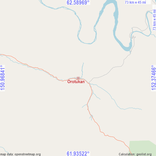
Orotukan GPS coordinates[2]
62° 15' 51.228" North, 151° 40' 17.508" East
| Map corner | latitude | longitude |
|---|---|---|
| Upper-left | 62.58969°, | 150.96841° |
| Center: | 62.26423°, | 151.67153° |
| Lower-right: | 61.93522°, | 152.37466° |
| Map W x H: | 72.8×72.8 km | = 45.2×45.2mi |
| max Lat: | 73.50819° ⇑4.6% North |
| Orotukan: | 62.26423° |
| min Lat: | ⇓95.4% South 41.28413° |
| min Long | Orotukan | max Long |
| -179.12198° | 151.67153° | 179.35046° |
| W 99.4%⇐ | ⇒0.59999999999999% E |
Elevation
Elevation of Orotukan is 459 m = 1506 ft, and this is 256.4 m = 841 ft above average elevation for this country.
| Max E: |
2518 m = 8261 ft | 9.7% |
| Orotukan | 459 m 1506 ft | |
| Avg. | 202.6 m = 665 ft | |
Min E: |
-28 m = -92 ft | 90.3% |
See also: Russia elevation on elevation.city.
Geographical zone
Orotukan is located in North temperate zone (between Tropic of Cancer and the Arctic Circle). Distance of this North polar circle is 478 km =297 mi to North.| Distance of | km | miles | from Orotukan |
|---|---|---|---|
| North Pole | 3083.9 | 1916.2 | to North |
| Arctic Circle | 478 | 297 | to North |
| Tropic Cancer | 4317.2 | 2682.6 | to South |
| Equator | 6923.1 | 4301.8 | to South |


Nearby cities:
15 places around Orotukan: (largest is in red/bold)
• Atka
159 km =98.8 mi,  177°
177°
• Burkhala
138.3 km =85.9 mi,  287°
287°
• Debin
48 km =29.8 mi,  280°
280°
• Dukat
192.4 km =119.6 mi,  79°
79°
• Karamken
230.6 km =143.3 mi,  187°
187°
• Kholodnyy
199.3 km =123.8 mi, 284°
• Palatka
243.7 km =151.4 mi, 189°
• Seymchan
83 km =51.6 mi,  26°
26°
• Shirokiy
206 km =128 mi,  296°
296°
• Sinegor'ye
62.8 km =39 mi,  251°
251°
• Spornoye
30.5 km =19 mi, 286°
• Susuman
189.4 km =117.7 mi, 287°
• Talaya
114.9 km =71.4 mi,  149°
149°
• Ust’-Omchug
165.4 km =102.8 mi,  220°
220°
• Yagodnoye
109.2 km =67.9 mi, 285°
Sources, notices
• [Note1] Compared only with cities in Russia existing in our database
• [Src1] Map data: © OpenStreetMap contributors (CC-BY-SA)
• [Src2] Other city data from geonames.org with taken over terms of usage.
• [Src3] Geographical zone / Annual Mean Temperature by Robert A. Rohde @ Wikipedia
