Palatka geodata
Palatka (Magadan Oblast) is a populated place; located in Russia in Asia/Magadan (GMT+11) time zone. With population of 4,534 people, there are 2856 cities with bigger population in this country. Compared to other cities in Russia, 91% of cities are located further ↓South; 99.3% of cities are located further ←West and 85.1% of cities have lower elevation than Palatka. Note1


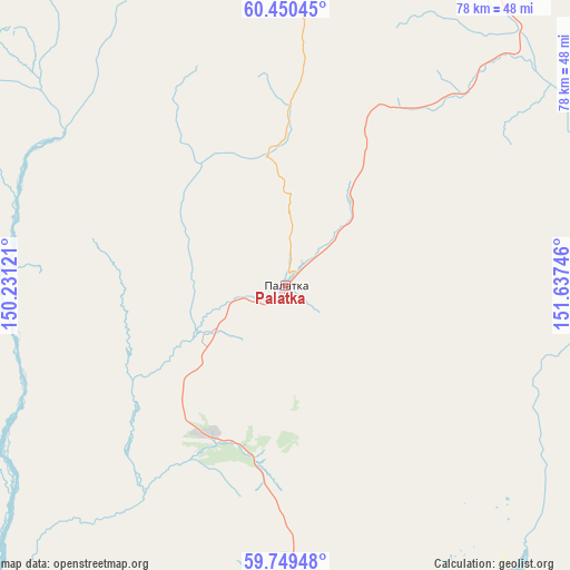
Palatka GPS coordinates[2]
60° 6' 6.588" North, 150° 56' 3.588" East
| Map corner | latitude | longitude |
|---|---|---|
| Upper-left | 60.45045°, | 150.23121° |
| Center: | 60.10183°, | 150.93433° |
| Lower-right: | 59.74948°, | 151.63746° |
| Map W x H: | 77.9×77.9 km | = 48.4×48.4mi |
| max Lat: | 73.50819° ⇑9% North |
| Palatka: | 60.10183° |
| min Lat: | ⇓91% South 41.28413° |
| min Long | Palatka | max Long |
| -179.12198° | 150.93433° | 179.35046° |
| W 99.3%⇐ | ⇒0.7% E |
Elevation
Elevation of Palatka is 322 m = 1056 ft, and this is 119.4 m = 392 ft above average elevation for this country.
| Max E: |
2518 m = 8261 ft | 14.9% |
| Palatka | 322 m 1056 ft | |
| Avg. | 202.6 m = 665 ft | |
Min E: |
-28 m = -92 ft | 85.1% |
See also: Russia elevation on elevation.city.
Geographical zone
Palatka is located in North temperate zone (between Tropic of Cancer and the Arctic Circle). Distance of this North polar circle is 718.5 km =446.5 mi to North.| Distance of | km | miles | from Palatka |
|---|---|---|---|
| North Pole | 3324.4 | 2065.7 | to North |
| Arctic Circle | 718.5 | 446.5 | to North |
| Tropic Cancer | 4076.8 | 2533.2 | to South |
| Equator | 6682.7 | 4152.4 | to South |


Nearby cities:
15 places around Palatka: (largest is in red/bold)
• Arman’
65.7 km =40.8 mi,  222°
222°
• Atka
94 km =58.4 mi,  29°
29°
• Burkhala
299.3 km =186 mi,  341°
341°
• Debin
249.3 km =154.9 mi,  357°
357°
• Karamken
14.9 km =9.3 mi,  36°
36°
• Magadan
60.3 km =37.5 mi,  186°
186°
• Ola
61.7 km =38.3 mi,  160°
160°
• Orotukan
243.7 km =151.4 mi,  9°
9°
• Sinegor'ye
221.9 km =137.9 mi,  354°
354°
• Sokol
22.8 km =14.2 mi,  206°
206°
• Spornoye
249.1 km =154.8 mi,  2°
2°
• Talaya
172.7 km =107.3 mi, 35°
• Uptar
22.8 km =14.2 mi, 188°
• Ust’-Omchug
134.9 km =83.8 mi,  328°
328°
• Yagodnoye
278.2 km =172.9 mi, 345°
Sources, notices
• [Note1] Compared only with cities in Russia existing in our database
• [Src1] Map data: © OpenStreetMap contributors (CC-BY-SA)
• [Src2] Other city data from geonames.org with taken over terms of usage.
• [Src3] Geographical zone / Annual Mean Temperature by Robert A. Rohde @ Wikipedia
