Atka geodata
Atka (Magadan Oblast) is a populated place; located in Russia in Asia/Magadan (GMT+11) time zone. With population of 560 people, there are 4924 cities with bigger population in this country. Compared to other cities in Russia, 92.6% of cities are located further ↓South; 99.4% of cities are located further ←West and 98.1% of cities have lower elevation than Atka. Note1


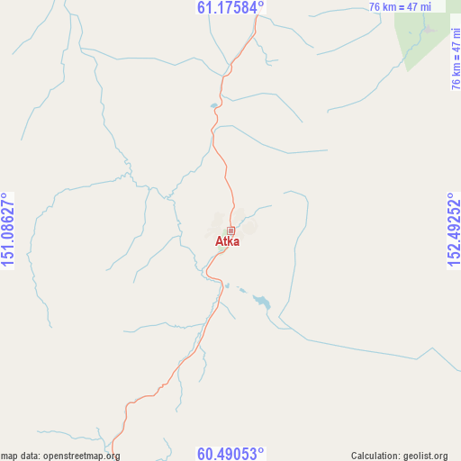
Atka GPS coordinates[2]
60° 50' 6.072" North, 151° 47' 21.804" East
| Map corner | latitude | longitude |
|---|---|---|
| Upper-left | 61.17584°, | 151.08627° |
| Center: | 60.83502°, | 151.78939° |
| Lower-right: | 60.49053°, | 152.49252° |
| Map W x H: | 76.2×76.2 km | = 47.3×47.3mi |
| max Lat: | 73.50819° ⇑7.4% North |
| Atka: | 60.83502° |
| min Lat: | ⇓92.6% South 41.28413° |
| min Long | Atka | max Long |
| -179.12198° | 151.78939° | 179.35046° |
| W 99.4%⇐ | ⇒0.59999999999999% E |
Elevation
Elevation of Atka is 884 m = 2900 ft, and this is 681.4 m = 2236 ft above average elevation for this country.
| Max E: |
2518 m = 8261 ft | 1.9% |
| Atka | 884 m 2900 ft | |
| Avg. | 202.6 m = 665 ft | |
Min E: |
-28 m = -92 ft | 98.1% |
See also: Russia elevation on elevation.city.
Geographical zone
Atka is located in North temperate zone (between Tropic of Cancer and the Arctic Circle). Distance of this North polar circle is 637 km =395.8 mi to North.| Distance of | km | miles | from Atka |
|---|---|---|---|
| North Pole | 3242.8 | 2015 | to North |
| Arctic Circle | 637 | 395.8 | to North |
| Tropic Cancer | 4158.3 | 2583.8 | to South |
| Equator | 6764.2 | 4203.1 | to South |


Nearby cities:
15 places around Atka: (largest is in red/bold)
• Arman’
158.6 km =98.5 mi,  215°
215°
• Debin
176.2 km =109.5 mi,  341°
341°
• Karamken
79.3 km =49.3 mi,  208°
208°
• Magadan
151.5 km =94.1 mi,  201°
201°
• Ola
142.4 km =88.5 mi,  190°
190°
• Orotukan
159 km =98.8 mi,  357°
357°
• Palatka
94 km =58.4 mi, 209°
• Seymchan
235.5 km =146.3 mi,  7°
7°
• Sinegor'ye
154.7 km =96.1 mi,  334°
334°
• Sokol
116.9 km =72.6 mi, 209°
• Spornoye
171.3 km =106.4 mi,  347°
347°
• Talaya
79.5 km =49.4 mi,  41°
41°
• Uptar
115.6 km =71.8 mi, 205°
• Ust’-Omchug
120.9 km =75.1 mi,  285°
285°
• Yagodnoye
219.7 km =136.5 mi, 328°
Sources, notices
• [Note1] Compared only with cities in Russia existing in our database
• [Src1] Map data: © OpenStreetMap contributors (CC-BY-SA)
• [Src2] Other city data from geonames.org with taken over terms of usage.
• [Src3] Geographical zone / Annual Mean Temperature by Robert A. Rohde @ Wikipedia
