Pochep geodata
Pochep (Bryansk Oblast) is a seat of a second-order administrative division; located in Russia in Europe/Moscow (GMT+3) time zone. With population of 15,100 people, there are 1089 cities with bigger population in this country. Compared to other cities in Russia, 63.2% of cities are located further ↑North; 91.3% of cities are located further →East and 57.8% of cities have lower elevation than Pochep. Note1


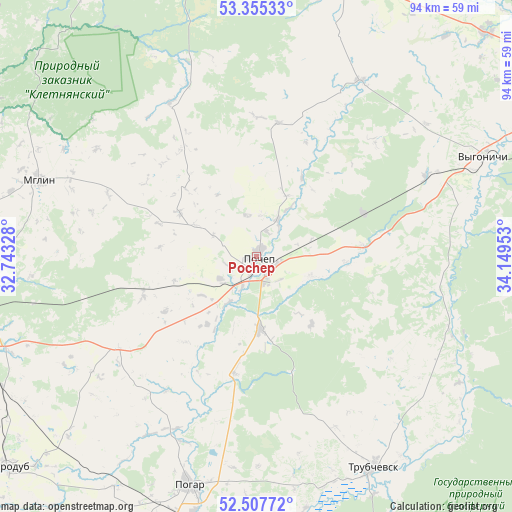
Pochep GPS coordinates[2]
52° 56' 0.96" North, 33° 26' 47.04" East
| Map corner | latitude | longitude |
|---|---|---|
| Upper-left | 53.35533°, | 32.74328° |
| Center: | 52.9336°, | 33.4464° |
| Lower-right: | 52.50772°, | 34.14953° |
| Map W x H: | 94.2×94.2 km | = 58.5×58.5mi |
| max Lat: | 73.50819° ⇑63.2% North |
| Pochep: | 52.9336° |
| min Lat: | ⇓36.8% South 41.28413° |
| min Long | Pochep | max Long |
| -179.12198° | 33.4464° | 179.35046° |
| W 8.7%⇐ | ⇒91.3% E |
Elevation
Elevation of Pochep is 163 m = 535 ft, and this is 39.6 m = 130 ft below average elevation for this country.
| Max E: |
2518 m = 8261 ft | 42.2% |
| Avg. | 202.6 m = 665 ft | |
| Pochep | 163 m = 535 ft | |
Min E: |
-28 m = -92 ft | 57.8% |
See also: Russia elevation on elevation.city.
Geographical zone
Pochep is located in North temperate zone (between Tropic of Cancer and the Arctic Circle). Distance of this North polar circle is 1515.5 km =941.7 mi to North.| Distance of | km | miles | from Pochep |
|---|---|---|---|
| North Pole | 4121.4 | 2560.9 | to North |
| Arctic Circle | 1515.5 | 941.7 | to North |
| Tropic Cancer | 3279.7 | 2037.9 | to South |
| Equator | 5885.7 | 3657.2 | to South |


Nearby cities:
15 places around Pochep: (largest is in red/bold)
• Dobrun’
60.3 km =37.5 mi,  62°
62°
• Glinishchevo
58.3 km =36.2 mi,  45°
45°
• Kletnya
53 km =32.9 mi,  343°
343°
• Mglin
42.4 km =26.3 mi,  289°
289°
• Ovstug
56.1 km =34.9 mi,  30°
30°
• Pogar
44.1 km =27.4 mi,  196°
196°
• Ramasukha
22.6 km =14 mi,  163°
163°
• Rzhanitsa
63.5 km =39.5 mi, 29°
• Semyachki
35.2 km =21.9 mi, 155°
• Starodub
60.2 km =37.4 mi,  229°
229°
• Suponevo
64.3 km =40 mi, 62°
• Trubchevsk
44.8 km =27.8 mi,  151°
151°
• Unecha
52.7 km =32.7 mi,  259°
259°
• Vygonichi
45.4 km =28.2 mi,  66°
66°
• Zhiryatino
37.3 km =23.2 mi, 30°
Sources, notices
• [Note1] Compared only with cities in Russia existing in our database
• [Src1] Map data: © OpenStreetMap contributors (CC-BY-SA)
• [Src2] Other city data from geonames.org with taken over terms of usage.
• [Src3] Geographical zone / Annual Mean Temperature by Robert A. Rohde @ Wikipedia
