Lashma geodata
Lashma (Ryazan Oblast) is a populated place; located in Russia in Europe/Moscow (GMT+3) time zone. With population of 1,736 people, there are 4280 cities with bigger population in this country. Compared to other cities in Russia, 52.5% of cities are located further ↓South; 62.5% of cities are located further →East and 71% of cities have higher elevation than Lashma. Note1


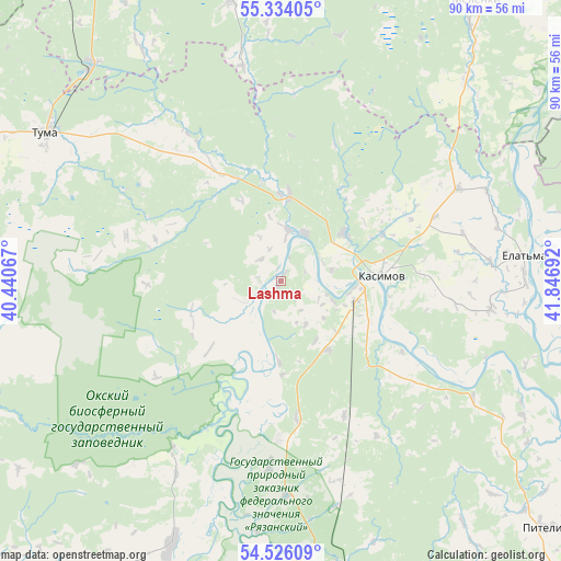
Lashma GPS coordinates[2]
54° 55' 55.56" North, 41° 8' 37.644" East
| Map corner | latitude | longitude |
|---|---|---|
| Upper-left | 55.33405°, | 40.44067° |
| Center: | 54.9321°, | 41.14379° |
| Lower-right: | 54.52609°, | 41.84692° |
| Map W x H: | 89.8×89.8 km | = 55.8×55.8mi |
| max Lat: | 73.50819° ⇑47.5% North |
| Lashma: | 54.9321° |
| min Lat: | ⇓52.5% South 41.28413° |
| min Long | Lashma | max Long |
| -179.12198° | 41.14379° | 179.35046° |
| W 37.5%⇐ | ⇒62.5% E |
Elevation
Elevation of Lashma is 100 m = 328 ft, and this is 102.6 m = 337 ft below average elevation for this country.
| Max E: |
2518 m = 8261 ft | 71% |
| Avg. | 202.6 m = 665 ft | |
| Lashma | 100 m = 328 ft | |
Min E: |
-28 m = -92 ft | 29% |
See also: Russia elevation on elevation.city.
Geographical zone
Lashma is located in North temperate zone (between Tropic of Cancer and the Arctic Circle). Distance of this North polar circle is 1293.3 km =803.6 mi to North.| Distance of | km | miles | from Lashma |
|---|---|---|---|
| North Pole | 3899.2 | 2422.8 | to North |
| Arctic Circle | 1293.3 | 803.6 | to North |
| Tropic Cancer | 3502 | 2176 | to South |
| Equator | 6107.9 | 3795.3 | to South |


Nearby cities:
15 places around Lashma: (largest is in red/bold)
• Ardab’yevo
35.6 km =22.1 mi,  65°
65°
• Dobryatino
64.7 km =40.2 mi,  9°
9°
• Gus’-Zheleznyy
14.1 km =8.8 mi, 5°
• Izhevskoye
45.1 km =28 mi,  202°
202°
• Kasimov
16.1 km =10 mi,  86°
86°
• Kurlovo
69.6 km =43.2 mi,  323°
323°
• Melenki
54.3 km =33.7 mi,  34°
34°
• Pitelino
58.4 km =36.3 mi,  132°
132°
• Shilovo
70.2 km =43.6 mi,  194°
194°
• Spas-Klepiki
65.6 km =40.8 mi,  290°
290°
• Syntul
12.6 km =7.8 mi,  51°
51°
• Tuma
44.6 km =27.7 mi,  302°
302°
• Velikodvorskiy
46.5 km =28.9 mi, 319°
• Yelat’ma
39 km =24.2 mi,  84°
84°
• Zolotkovo
66.3 km =41.2 mi,  357°
357°
Sources, notices
• [Note1] Compared only with cities in Russia existing in our database
• [Src1] Map data: © OpenStreetMap contributors (CC-BY-SA)
• [Src2] Other city data from geonames.org with taken over terms of usage.
• [Src3] Geographical zone / Annual Mean Temperature by Robert A. Rohde @ Wikipedia
