Gundelen geodata
Gundelen (Kabardino-Balkariya Republic) is a populated place; located in Russia in Europe/Moscow (GMT+3) time zone. With population of 6,363 people, there are 2161 cities with bigger population in this country. Compared to other cities in Russia, 93.5% of cities are located further ↑North; 56% of cities are located further →East and 97.4% of cities have lower elevation than Gundelen. Note1


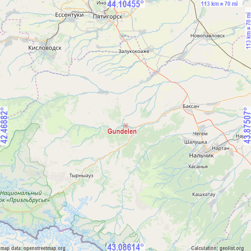
Gundelen GPS coordinates[2]
43° 35' 51" North, 43° 10' 18.984" East
| Map corner | latitude | longitude |
|---|---|---|
| Upper-left | 44.10455°, | 42.46882° |
| Center: | 43.5975°, | 43.17194° |
| Lower-right: | 43.08614°, | 43.87507° |
| Map W x H: | 113.2×113.2 km | = 70.3×70.3mi |
| max Lat: | 73.50819° ⇑93.5% North |
| Gundelen: | 43.5975° |
| min Lat: | ⇓6.5% South 41.28413° |
| min Long | Gundelen | max Long |
| -179.12198° | 43.17194° | 179.35046° |
| W 44%⇐ | ⇒56% E |
Elevation
Elevation of Gundelen is 809 m = 2654 ft, and this is 606.4 m = 1990 ft above average elevation for this country.
| Max E: |
2518 m = 8261 ft | 2.6% |
| Gundelen | 809 m 2654 ft | |
| Avg. | 202.6 m = 665 ft | |
Min E: |
-28 m = -92 ft | 97.4% |
See also: Russia elevation on elevation.city.
Geographical zone
Gundelen is located in North temperate zone (between Tropic of Cancer and the Arctic Circle). Distance of this Northern Tropic circle is 2241.7 km =1392.9 mi to South.| Distance of | km | miles | from Gundelen |
|---|---|---|---|
| North Pole | 5159.5 | 3206 | to North |
| Arctic Circle | 2553.6 | 1586.7 | to North |
| Tropic Cancer | 2241.7 | 1392.9 | to South |
| Equator | 4847.6 | 3012.2 | to South |


Nearby cities:
15 places around Gundelen: (largest is in red/bold)
• Bylym
18.2 km =11.3 mi,  216°
216°
• Dugulubgey
30.3 km =18.8 mi,  76°
76°
• Islamey
24.4 km =15.2 mi,  69°
69°
• Kamenka
28.7 km =17.8 mi,  104°
104°
• Kamennomostskoye
18.3 km =11.4 mi,  328°
328°
• Kuba-Taba
29.5 km =18.3 mi,  47°
47°
• Kyzburun Pervyy
18.9 km =11.7 mi, 71°
• Lashkuta
5.7 km =3.5 mi,  156°
156°
• Lechinkay
21.3 km =13.2 mi, 99°
• Malka
26 km =16.2 mi,  28°
28°
• Nizhniy Kurkuzhin
22 km =13.7 mi,  40°
40°
• Sarmakovo
16.6 km =10.3 mi,  7°
7°
• Verkhniy Kurkuzhin
13.7 km =8.5 mi, 37°
• Zayukovo
13.2 km =8.2 mi, 80°
• Zhankhoteko
4.8 km =3 mi,  139°
139°
Sources, notices
• [Note1] Compared only with cities in Russia existing in our database
• [Src1] Map data: © OpenStreetMap contributors (CC-BY-SA)
• [Src2] Other city data from geonames.org with taken over terms of usage.
• [Src3] Geographical zone / Annual Mean Temperature by Robert A. Rohde @ Wikipedia
