Karamakhi geodata
Karamakhi (Dagestan) is a populated place; located in Russia in Europe/Moscow (GMT+3) time zone. With population of 3,904 people, there are 3167 cities with bigger population in this country. Compared to other cities in Russia, 98.7% of cities are located further ↑North; 56.8% of cities are located further ←West and 98.8% of cities have lower elevation than Karamakhi. Note1


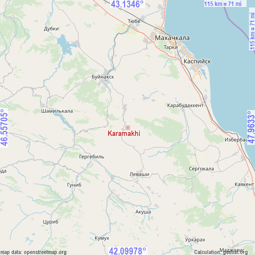
Karamakhi GPS coordinates[2]
42° 37' 9.624" North, 47° 15' 36.612" East
| Map corner | latitude | longitude |
|---|---|---|
| Upper-left | 43.1346°, | 46.55705° |
| Center: | 42.61934°, | 47.26017° |
| Lower-right: | 42.09978°, | 47.9633° |
| Map W x H: | 115.1×115.1 km | = 71.5×71.5mi |
| max Lat: | 73.50819° ⇑98.7% North |
| Karamakhi: | 42.61934° |
| min Lat: | ⇓1.3% South 41.28413° |
| min Long | Karamakhi | max Long |
| -179.12198° | 47.26017° | 179.35046° |
| W 56.8%⇐ | ⇒43.2% E |
Elevation
Elevation of Karamakhi is 1075 m = 3527 ft, and this is 872.4 m = 2862 ft above average elevation for this country.
| Max E: |
2518 m = 8261 ft | 1.2% |
| Karamakhi | 1075 m 3527 ft | |
| Avg. | 202.6 m = 665 ft | |
Min E: |
-28 m = -92 ft | 98.8% |
See also: Russia elevation on elevation.city.
Geographical zone
Karamakhi is located in North temperate zone (between Tropic of Cancer and the Arctic Circle). Distance of this Northern Tropic circle is 2132.9 km =1325.3 mi to South.| Distance of | km | miles | from Karamakhi |
|---|---|---|---|
| North Pole | 5268.2 | 3273.5 | to North |
| Arctic Circle | 2662.3 | 1654.3 | to North |
| Tropic Cancer | 2132.9 | 1325.3 | to South |
| Equator | 4738.8 | 2944.6 | to South |


Nearby cities:
15 places around Karamakhi: (largest is in red/bold)
• Buynaksk
25 km =15.5 mi,  332°
332°
• Dorgeli
6 km =3.7 mi,  27°
27°
• Gergebil’
20.4 km =12.7 mi,  231°
231°
• Gubden
25.7 km =16 mi,  102°
102°
• Gurbuki
27.9 km =17.3 mi,  91°
91°
• Irganay
28.7 km =17.8 mi,  276°
276°
• Kafyr-Kumukh
25.8 km =16 mi,  340°
340°
• Karabudakhkent
27 km =16.8 mi,  68°
68°
• Khadzhalmakhi
23.1 km =14.4 mi,  196°
196°
• Levashi
21.6 km =13.4 mi,  166°
166°
• Nizhneye Kazanishche
18 km =11.2 mi, 333°
• Nizhniy Dzhengutay
9.1 km =5.7 mi,  352°
352°
• Paraul
15.7 km =9.8 mi, 29°
• Urma
9.2 km =5.7 mi, 166°
• Verkhneye Kazanishche
16.3 km =10.1 mi,  322°
322°
Sources, notices
• [Note1] Compared only with cities in Russia existing in our database
• [Src1] Map data: © OpenStreetMap contributors (CC-BY-SA)
• [Src2] Other city data from geonames.org with taken over terms of usage.
• [Src3] Geographical zone / Annual Mean Temperature by Robert A. Rohde @ Wikipedia
