Tyukhtet geodata
Tyukhtet (Krasnoyarskiy) is a populated place; located in Russia in Asia/Krasnoyarsk (GMT+7) time zone. With population of 5,138 people, there are 2588 cities with bigger population in this country. Compared to other cities in Russia, 73.1% of cities are located further ↓South; 85.5% of cities are located further ←West and 71.7% of cities have lower elevation than Tyukhtet. Note1


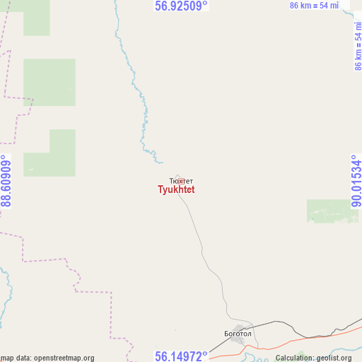
Tyukhtet GPS coordinates[2]
56° 32' 21.804" North, 89° 18' 43.956" East
| Map corner | latitude | longitude |
|---|---|---|
| Upper-left | 56.92509°, | 88.60909° |
| Center: | 56.53939°, | 89.31221° |
| Lower-right: | 56.14972°, | 90.01534° |
| Map W x H: | 86.2×86.2 km | = 53.6×53.6mi |
| max Lat: | 73.50819° ⇑26.9% North |
| Tyukhtet: | 56.53939° |
| min Lat: | ⇓73.1% South 41.28413° |
| min Long | Tyukhtet | max Long |
| -179.12198° | 89.31221° | 179.35046° |
| W 85.5%⇐ | ⇒14.5% E |
Elevation
Elevation of Tyukhtet is 203 m = 666 ft, and this is 0.40000000000001 m = 1 ft above average elevation for this country.
| Max E: |
2518 m = 8261 ft | 28.3% |
| Tyukhtet | 203 m 666 ft | |
| Avg. | 202.6 m = 665 ft | |
Min E: |
-28 m = -92 ft | 71.7% |
See also: Russia elevation on elevation.city.
Geographical zone
Tyukhtet is located in North temperate zone (between Tropic of Cancer and the Arctic Circle). Distance of this North polar circle is 1114.6 km =692.6 mi to North.| Distance of | km | miles | from Tyukhtet |
|---|---|---|---|
| North Pole | 3720.5 | 2311.8 | to North |
| Arctic Circle | 1114.6 | 692.6 | to North |
| Tropic Cancer | 3680.7 | 2287.1 | to South |
| Equator | 6286.6 | 3906.3 | to South |


Nearby cities:
15 places around Tyukhtet: (largest is in red/bold)
• Achinsk
79 km =49.1 mi,  112°
112°
• Bogotol
39.3 km =24.4 mi,  159°
159°
• Dubinino
103.2 km =64.1 mi,  187°
187°
• Goryachegorsk
128.9 km =80.1 mi, 191°
• Itatskiy
54.9 km =34.1 mi,  198°
198°
• Mariinsk
102.9 km =63.9 mi,  249°
249°
• Nazarovo
89.3 km =55.5 mi,  131°
131°
• Novobirilyussy
95.2 km =59.2 mi,  61°
61°
• Novochernorechenskiy
113.6 km =70.6 mi, 105°
• Sharypovo
111.3 km =69.2 mi,  183°
183°
• Suslovo
81.9 km =50.9 mi,  244°
244°
• Tegul’det
110.3 km =68.5 mi,  320°
320°
• Tisul’
106.4 km =66.1 mi,  215°
215°
• Tyazhinskiy
67.7 km =42.1 mi,  225°
225°
• Verkh-Chebula
118.7 km =73.8 mi, 241°
Sources, notices
• [Note1] Compared only with cities in Russia existing in our database
• [Src1] Map data: © OpenStreetMap contributors (CC-BY-SA)
• [Src2] Other city data from geonames.org with taken over terms of usage.
• [Src3] Geographical zone / Annual Mean Temperature by Robert A. Rohde @ Wikipedia
