Goryachegorsk geodata
Goryachegorsk (Krasnoyarskiy) is a populated place; located in Russia in Asia/Krasnoyarsk (GMT+7) time zone. With population of 873 people, there are 4719 cities with bigger population in this country. Compared to other cities in Russia, 57.2% of cities are located further ↓South; 85.4% of cities are located further ←West and 90.8% of cities have lower elevation than Goryachegorsk. Note1


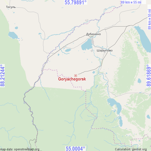
Goryachegorsk GPS coordinates[2]
55° 24' 6.012" North, 88° 54' 56.016" East
| Map corner | latitude | longitude |
|---|---|---|
| Upper-left | 55.79891°, | 88.21244° |
| Center: | 55.40167°, | 88.91556° |
| Lower-right: | 55.0004°, | 89.61869° |
| Map W x H: | 88.8×88.8 km | = 55.2×55.2mi |
| max Lat: | 73.50819° ⇑42.8% North |
| Goryachegorsk: | 55.40167° |
| min Lat: | ⇓57.2% South 41.28413° |
| min Long | Goryachegorsk | max Long |
| -179.12198° | 88.91556° | 179.35046° |
| W 85.4%⇐ | ⇒14.6% E |
Elevation
Elevation of Goryachegorsk is 473 m = 1552 ft, and this is 270.4 m = 887 ft above average elevation for this country.
| Max E: |
2518 m = 8261 ft | 9.2% |
| Goryachegorsk | 473 m 1552 ft | |
| Avg. | 202.6 m = 665 ft | |
Min E: |
-28 m = -92 ft | 90.8% |
See also: Russia elevation on elevation.city.
Geographical zone
Goryachegorsk is located in North temperate zone (between Tropic of Cancer and the Arctic Circle). Distance of this North polar circle is 1241.1 km =771.2 mi to North.| Distance of | km | miles | from Goryachegorsk |
|---|---|---|---|
| North Pole | 3847 | 2390.4 | to North |
| Arctic Circle | 1241.1 | 771.2 | to North |
| Tropic Cancer | 3554.2 | 2208.5 | to South |
| Equator | 6160.1 | 3827.7 | to South |


Nearby cities:
15 places around Goryachegorsk: (largest is in red/bold)
• Belogorsk
50.5 km =31.4 mi,  212°
212°
• Bogotol
97.6 km =60.6 mi,  23°
23°
• Dubinino
26.6 km =16.5 mi, 24°
• Itatskiy
74.7 km =46.4 mi,  5°
5°
• Kommunar
119.5 km =74.3 mi,  168°
168°
• Mariinsk
116.1 km =72.1 mi,  321°
321°
• Nazarovo
115.1 km =71.5 mi,  53°
53°
• Sharypovo
23.7 km =14.7 mi, 49°
• Shira
121 km =75.2 mi,  146°
146°
• Suslovo
103.5 km =64.3 mi,  331°
331°
• Tisul’
55.1 km =34.2 mi, 316°
• Tyazhinskiy
83.1 km =51.6 mi,  342°
342°
• Uzhur
58.8 km =36.5 mi,  99°
99°
• Verkh-Chebula
107 km =66.5 mi,  310°
310°
• Zhemchuzhnyy
127.9 km =79.5 mi,  141°
141°
Sources, notices
• [Note1] Compared only with cities in Russia existing in our database
• [Src1] Map data: © OpenStreetMap contributors (CC-BY-SA)
• [Src2] Other city data from geonames.org with taken over terms of usage.
• [Src3] Geographical zone / Annual Mean Temperature by Robert A. Rohde @ Wikipedia
