Balykcha geodata
Balykcha (Altai) is a populated place; located in Russia in Asia/Barnaul (GMT+7) time zone. With population of 800 people, there are 4755 cities with bigger population in this country. Compared to other cities in Russia, 73.6% of cities are located further ↑North; 84.9% of cities are located further ←West and 89.9% of cities have lower elevation than Balykcha. Note1


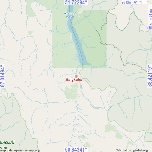
Balykcha GPS coordinates[2]
51° 17' 7.008" North, 87° 43' 5.016" East
| Map corner | latitude | longitude |
|---|---|---|
| Upper-left | 51.72294°, | 87.01494° |
| Center: | 51.28528°, | 87.71806° |
| Lower-right: | 50.84341°, | 88.42119° |
| Map W x H: | 97.8×97.8 km | = 60.8×60.8mi |
| max Lat: | 73.50819° ⇑73.6% North |
| Balykcha: | 51.28528° |
| min Lat: | ⇓26.4% South 41.28413° |
| min Long | Balykcha | max Long |
| -179.12198° | 87.71806° | 179.35046° |
| W 84.9%⇐ | ⇒15.1% E |
Elevation
Elevation of Balykcha is 450 m = 1476 ft, and this is 247.4 m = 812 ft above average elevation for this country.
| Max E: |
2518 m = 8261 ft | 10.1% |
| Balykcha | 450 m 1476 ft | |
| Avg. | 202.6 m = 665 ft | |
Min E: |
-28 m = -92 ft | 89.9% |
See also: Russia elevation on elevation.city.
Geographical zone
Balykcha is located in North temperate zone (between Tropic of Cancer and the Arctic Circle). Distance of this North polar circle is 1698.8 km =1055.6 mi to North.| Distance of | km | miles | from Balykcha |
|---|---|---|---|
| North Pole | 4304.7 | 2674.8 | to North |
| Arctic Circle | 1698.8 | 1055.6 | to North |
| Tropic Cancer | 3096.5 | 1924.1 | to South |
| Equator | 5702.4 | 3543.3 | to South |


Nearby cities:
15 places around Balykcha: (largest is in red/bold)
• Aktash
109.6 km =68.1 mi,  179°
179°
• Artybash
64.2 km =39.9 mi,  331°
331°
• Biyka
71.3 km =44.3 mi,  356°
356°
• Chemal
119.8 km =74.4 mi,  276°
276°
• Chibit
108.6 km =67.5 mi,  187°
187°
• Choya
114.2 km =71 mi,  314°
314°
• Dmitriyevka
139.9 km =86.9 mi,  336°
336°
• Elekmonar
121.6 km =75.6 mi, 279°
• Inya
119.8 km =74.4 mi,  219°
219°
• Iogach
63.5 km =39.5 mi, 330°
• Kupchegen
116.9 km =72.6 mi,  230°
230°
• Onguday
124.8 km =77.5 mi,  241°
241°
• Turochak
115.6 km =71.8 mi, 339°
• Ust’-Ulagan
74.5 km =46.3 mi,  166°
166°
• Uznezya
126.3 km =78.5 mi, 282°
Sources, notices
• [Note1] Compared only with cities in Russia existing in our database
• [Src1] Map data: © OpenStreetMap contributors (CC-BY-SA)
• [Src2] Other city data from geonames.org with taken over terms of usage.
• [Src3] Geographical zone / Annual Mean Temperature by Robert A. Rohde @ Wikipedia
