Alrmtheiah geodata
Alrmtheiah (Al-Qassim) is a populated place; located in Saudi Arabia in Asia/Riyadh (GMT+3) time zone. With population of 1,000 people, there are 94 cities with bigger population in this country. Compared to other cities in Saudi Arabia, 59.8% of cities are located further ↑North; 54.6% of cities are located further →East and 86.6% of cities have lower elevation than Alrmtheiah. Note1


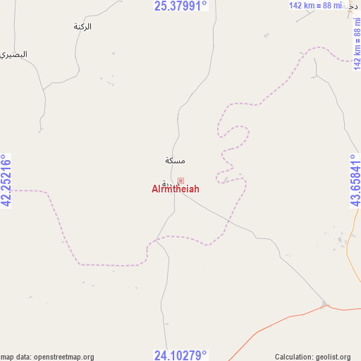
Alrmtheiah GPS coordinates[2]
24° 44' 34.764" North, 42° 57' 19.008" East
| Map corner | latitude | longitude |
|---|---|---|
| Upper-left | 25.37991°, | 42.25216° |
| Center: | 24.74299°, | 42.95528° |
| Lower-right: | 24.10279°, | 43.65841° |
| Map W x H: | 142×142 km | = 88.2×88.2mi |
| max Lat: | 31.67252° ⇑59.8% North |
| Alrmtheiah: | 24.74299° |
| min Lat: | ⇓40.2% South 16.57946° |
| min Long | Alrmtheiah | max Long |
| 35.69014° | 42.95528° | 54.09599° |
| W 45.4%⇐ | ⇒54.6% E |
Elevation
Elevation of Alrmtheiah is 1027 m = 3369 ft, and this is 505.6 m = 1659 ft above average elevation for this country.
| Max E: |
2385 m = 7825 ft | 13.4% |
| Alrmtheiah | 1027 m 3369 ft | |
| Avg. | 521.4 m = 1711 ft | |
Min E: |
3 m = 10 ft | 86.6% |
See also: Saudi Arabia elevation on elevation.city.
Geographical zone
Alrmtheiah is located in North temperate zone (between Tropic of Cancer and the Arctic Circle). Distance of this Northern Tropic circle is 145.2 km =90.2 mi to South.| Distance of | km | miles | from Alrmtheiah |
|---|---|---|---|
| North Pole | 7255.9 | 4508.6 | to North |
| Arctic Circle | 4650 | 2889.4 | to North |
| Tropic Cancer | 145.2 | 90.2 | to South |
| Equator | 2751.2 | 1709.5 | to South |


Nearby cities:
15 places around Alrmtheiah: (largest is in red/bold)
• Ad Dawādimī
147.6 km =91.7 mi,  100°
100°
• Adh Dhibiyah
144.2 km =89.6 mi,  8°
8°
• Afif
93.1 km =57.8 mi,  182°
182°
• Ain AlBaraha
82.7 km =51.4 mi,  88°
88°
• Al Bukayrīyah
170.5 km =105.9 mi,  24°
24°
• Al Fuwayliq
191.4 km =118.9 mi, 8°
• Al Majma‘ah
274.1 km =170.3 mi,  61°
61°
• Al Mithnab
177.9 km =110.5 mi,  45°
45°
• Ar Rass
136.6 km =84.9 mi, 23°
• Az Zulfī
254.5 km =158.1 mi, 47°
• Buraydah
203.6 km =126.5 mi,  30°
30°
• Marāt
255 km =158.4 mi,  81°
81°
• Sājir
172.8 km =107.4 mi,  73°
73°
• Unaizah
180.6 km =112.2 mi, 34°
• Wed Alnkil
77 km =47.8 mi,  350°
350°
Sources, notices
• [Note1] Compared only with cities in Saudi Arabia existing in our database
• [Src1] Map data: © OpenStreetMap contributors (CC-BY-SA)
• [Src2] Other city data from geonames.org with taken over terms of usage.
• [Src3] Geographical zone / Annual Mean Temperature by Robert A. Rohde @ Wikipedia
