Vingåker geodata
Vingåker (Södermanland) is a seat of a second-order administrative division; located in Sweden in Europe/Stockholm (GMT+2) time zone. With population of 4,548 people, there are 298 cities with bigger population in this country. Compared to other cities in Sweden, 54% of cities are located further ↓South; 60.8% of cities are located further ←West and 54.7% of cities have higher elevation than Vingåker. Note1


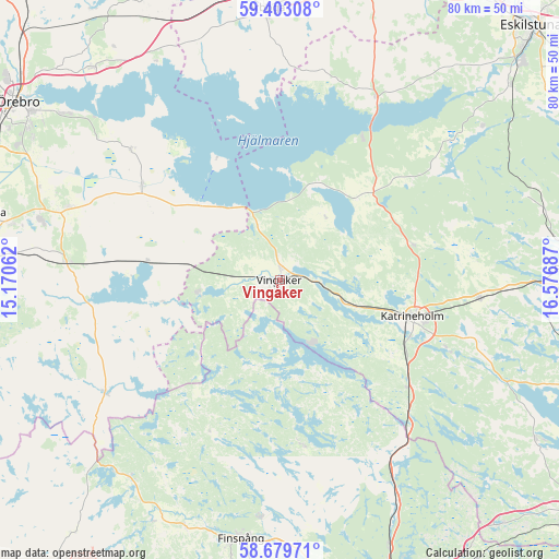
Vingåker GPS coordinates[2]
59° 2' 35.88" North, 15° 52' 25.464" East
| Map corner | latitude | longitude |
|---|---|---|
| Upper-left | 59.40308°, | 15.17062° |
| Center: | 59.0433°, | 15.87374° |
| Lower-right: | 58.67971°, | 16.57687° |
| Map W x H: | 80.4×80.4 km | = 50×50mi |
| max Lat: | 67.85572° ⇑46% North |
| Vingåker: | 59.0433° |
| min Lat: | ⇓54% South 55.34337° |
| min Long | Vingåker | max Long |
| 11.1712° | 15.87374° | 24.13676° |
| W 60.8%⇐ | ⇒39.2% E |
Elevation
Elevation of Vingåker is 43 m = 141 ft, and this is 39.6 m = 130 ft below average elevation for this country.
| Max E: |
663 m = 2175 ft | 54.7% |
| Avg. | 82.6 m = 271 ft | |
| Vingåker | 43 m = 141 ft | |
Min E: |
-1 m = -3 ft | 45.3% |
See also: Sweden elevation on elevation.city.
Geographical zone
Vingåker is located in North temperate zone (between Tropic of Cancer and the Arctic Circle). Distance of this North polar circle is 836.2 km =519.6 mi to North.| Distance of | km | miles | from Vingåker |
|---|---|---|---|
| North Pole | 3442.1 | 2138.8 | to North |
| Arctic Circle | 836.2 | 519.6 | to North |
| Tropic Cancer | 3959.1 | 2460.1 | to South |
| Equator | 6565 | 4079.3 | to South |


Nearby cities:
15 places around Vingåker: (largest is in red/bold)
• Bie
19.9 km =12.4 mi,  75°
75°
• Finspång
38 km =23.6 mi,  189°
189°
• Forssjö
26.1 km =16.2 mi,  112°
112°
• Hälleforsnäs
37.6 km =23.4 mi,  71°
71°
• Högsjö
11.9 km =7.4 mi,  261°
261°
• Katrineholm
19.8 km =12.3 mi, 105°
• Lotorp
34.5 km =21.4 mi,  183°
183°
• Mellösa
27.5 km =17.1 mi,  309°
309°
• Odensbacken
23.8 km =14.8 mi, 305°
• Pålsboda
30.8 km =19.1 mi,  274°
274°
• Rejmyre
23.5 km =14.6 mi,  173°
173°
• Sköldinge
32.8 km =20.4 mi,  92°
92°
• Sköllersta
32.3 km =20.1 mi,  288°
288°
• Stora Mellösa
28.7 km =17.8 mi, 312°
• Valla
29.3 km =18.2 mi,  95°
95°
Sources, notices
• [Note1] Compared only with cities in Sweden existing in our database
• [Src1] Map data: © OpenStreetMap contributors (CC-BY-SA)
• [Src2] Other city data from geonames.org with taken over terms of usage.
• [Src3] Geographical zone / Annual Mean Temperature by Robert A. Rohde @ Wikipedia
