Vindeln geodata
Vindeln (Västerbotten) is a seat of a second-order administrative division; located in Sweden in Europe/Stockholm (GMT+2) time zone. With population of 2,403 people, there are 464 cities with bigger population in this country. Compared to other cities in Sweden, 93.7% of cities are located further ↓South; 93.8% of cities are located further ←West and 88.5% of cities have lower elevation than Vindeln. Note1


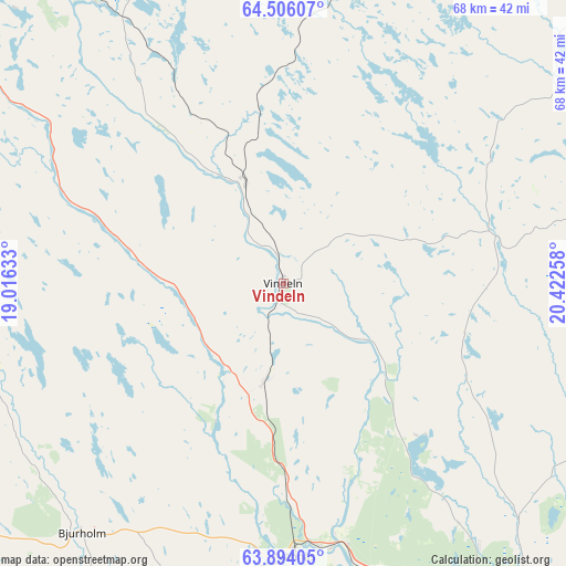
Vindeln GPS coordinates[2]
64° 12' 6.3" North, 19° 43' 10.02" East
| Map corner | latitude | longitude |
|---|---|---|
| Upper-left | 64.50607°, | 19.01633° |
| Center: | 64.20175°, | 19.71945° |
| Lower-right: | 63.89405°, | 20.42258° |
| Map W x H: | 68.1×68 km | = 42.3×42.3mi |
| max Lat: | 67.85572° ⇑6.3% North |
| Vindeln: | 64.20175° |
| min Lat: | ⇓93.7% South 55.34337° |
| min Long | Vindeln | max Long |
| 11.1712° | 19.71945° | 24.13676° |
| W 93.8%⇐ | ⇒6.2% E |
Elevation
Elevation of Vindeln is 188 m = 617 ft, and this is 105.4 m = 346 ft above average elevation for this country.
| Max E: |
663 m = 2175 ft | 11.5% |
| Vindeln | 188 m 617 ft | |
| Avg. | 82.6 m = 271 ft | |
Min E: |
-1 m = -3 ft | 88.5% |
See also: Sweden elevation on elevation.city.
Geographical zone
Vindeln is located in North temperate zone (between Tropic of Cancer and the Arctic Circle). Distance of this North polar circle is 262.6 km =163.2 mi to North.| Distance of | km | miles | from Vindeln |
|---|---|---|---|
| North Pole | 2868.5 | 1782.4 | to North |
| Arctic Circle | 262.6 | 163.2 | to North |
| Tropic Cancer | 4532.6 | 2816.4 | to South |
| Equator | 7138.6 | 4435.7 | to South |


Nearby cities:
15 places around Vindeln: (largest is in red/bold)
• Bjurholm
38.9 km =24.2 mi,  219°
219°
• Burträsk
56.8 km =35.3 mi,  51°
51°
• Ersmark
45.8 km =28.5 mi,  140°
140°
• Innertavle
54.9 km =34.1 mi, 142°
• Ramsele
17.1 km =10.6 mi,  208°
208°
• Robertsfors
54.6 km =33.9 mi,  90°
90°
• Röbäck
49.3 km =30.6 mi,  152°
152°
• Sunnansjö
21.2 km =13.2 mi,  237°
237°
• Sävar
52.3 km =32.5 mi,  129°
129°
• Tallåsen
44.2 km =27.5 mi,  284°
284°
• Tomtebo
54.4 km =33.8 mi, 144°
• Täfteå
54.7 km =34 mi, 137°
• Umeå
49.2 km =30.6 mi, 147°
• Vännäs
32.9 km =20.4 mi,  176°
176°
• Vännäsby
32.2 km =20 mi,  170°
170°
Sources, notices
• [Note1] Compared only with cities in Sweden existing in our database
• [Src1] Map data: © OpenStreetMap contributors (CC-BY-SA)
• [Src2] Other city data from geonames.org with taken over terms of usage.
• [Src3] Geographical zone / Annual Mean Temperature by Robert A. Rohde @ Wikipedia
