Järpås geodata
Järpås (Västra Götaland) is a populated place; located in Sweden in Europe/Stockholm (GMT+2) time zone. With population of 789 people, there are 971 cities with bigger population in this country. Compared to other cities in Sweden, 55% of cities are located further ↑North; 80.8% of cities are located further →East and 60.4% of cities have lower elevation than Järpås. Note1


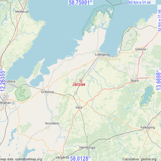
Järpås GPS coordinates[2]
58° 22' 59.988" North, 12° 58' 0.012" East
| Map corner | latitude | longitude |
|---|---|---|
| Upper-left | 58.75001°, | 12.26355° |
| Center: | 58.38333°, | 12.96667° |
| Lower-right: | 58.0128°, | 13.6698° |
| Map W x H: | 82×82 km | = 51×51mi |
| max Lat: | 67.85572° ⇑55% North |
| Järpås: | 58.38333° |
| min Lat: | ⇓45% South 55.34337° |
| min Long | Järpås | max Long |
| 11.1712° | 12.96667° | 24.13676° |
| W 19.2%⇐ | ⇒80.8% E |
Elevation
Elevation of Järpås is 72 m = 236 ft, and this is 10.6 m = 35 ft below average elevation for this country.
| Max E: |
663 m = 2175 ft | 39.6% |
| Avg. | 82.6 m = 271 ft | |
| Järpås | 72 m = 236 ft | |
Min E: |
-1 m = -3 ft | 60.4% |
See also: Sweden elevation on elevation.city.
Geographical zone
Järpås is located in North temperate zone (between Tropic of Cancer and the Arctic Circle). Distance of this North polar circle is 909.6 km =565.2 mi to North.| Distance of | km | miles | from Järpås |
|---|---|---|---|
| North Pole | 3515.4 | 2184.4 | to North |
| Arctic Circle | 909.6 | 565.2 | to North |
| Tropic Cancer | 3885.7 | 2414.5 | to South |
| Equator | 6491.6 | 4033.7 | to South |


Nearby cities:
15 places around Järpås: (largest is in red/bold)
• Ardala
21.7 km =13.5 mi,  96°
96°
• Filsbäck
20.3 km =12.6 mi,  53°
53°
• Grästorp
17.6 km =10.9 mi,  251°
251°
• Herrljunga
34.2 km =21.3 mi,  174°
174°
• Kvänum
15.7 km =9.8 mi,  126°
126°
• Källby
24.2 km =15 mi, 54°
• Lidköping
17.5 km =10.9 mi,  39°
39°
• Lundsbrunn
29.7 km =18.5 mi,  70°
70°
• Nossebro
26.2 km =16.3 mi,  214°
214°
• Skara
27.5 km =17.1 mi,  89°
89°
• Stora Levene
7 km =4.3 mi,  200°
200°
• Vara
13.5 km =8.4 mi,  183°
183°
• Vargön
33.7 km =20.9 mi,  264°
264°
• Vedum
24.1 km =15 mi, 177°
• Vinninga
19 km =11.8 mi, 67°
Sources, notices
• [Note1] Compared only with cities in Sweden existing in our database
• [Src1] Map data: © OpenStreetMap contributors (CC-BY-SA)
• [Src2] Other city data from geonames.org with taken over terms of usage.
• [Src3] Geographical zone / Annual Mean Temperature by Robert A. Rohde @ Wikipedia
