Högsäter geodata
Högsäter (Värmland) is a populated place; located in Sweden in Europe/Stockholm (GMT+2) time zone. With population of 744 people, there are 1018 cities with bigger population in this country. Compared to other cities in Sweden, 72.4% of cities are located further ↓South; 94.9% of cities are located further →East and 83.2% of cities have lower elevation than Högsäter. Note1


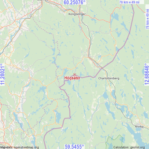
Högsäter GPS coordinates[2]
59° 54' 0" North, 11° 58' 59.988" East
| Map corner | latitude | longitude |
|---|---|---|
| Upper-left | 60.25076°, | 11.28021° |
| Center: | 59.9°, | 11.98333° |
| Lower-right: | 59.5455°, | 12.68646° |
| Map W x H: | 78.4×78.4 km | = 48.7×48.7mi |
| max Lat: | 67.85572° ⇑27.6% North |
| Högsäter: | 59.9° |
| min Lat: | ⇓72.4% South 55.34337° |
| min Long | Högsäter | max Long |
| 11.1712° | 11.98333° | 24.13676° |
| W 5.1%⇐ | ⇒94.9% E |
Elevation
Elevation of Högsäter is 160 m = 525 ft, and this is 77.4 m = 254 ft above average elevation for this country.
| Max E: |
663 m = 2175 ft | 16.8% |
| Högsäter | 160 m 525 ft | |
| Avg. | 82.6 m = 271 ft | |
Min E: |
-1 m = -3 ft | 83.2% |
See also: Sweden elevation on elevation.city.
Geographical zone
Högsäter is located in North temperate zone (between Tropic of Cancer and the Arctic Circle). Distance of this North polar circle is 740.9 km =460.4 mi to North.| Distance of | km | miles | from Högsäter |
|---|---|---|---|
| North Pole | 3346.8 | 2079.6 | to North |
| Arctic Circle | 740.9 | 460.4 | to North |
| Tropic Cancer | 4054.3 | 2519.2 | to South |
| Equator | 6660.3 | 4138.5 | to South |


Nearby cities:
15 places around Högsäter: (largest is in red/bold)
• Arvika
43.3 km =26.9 mi,  128°
128°
• Charlottenberg
18 km =11.2 mi,  95°
95°
• Edane
56 km =34.8 mi,  122°
122°
• Edsvalla
86.1 km =53.5 mi, 126°
• Grums
88 km =54.7 mi, 133°
• Gärsnäs
74.4 km =46.2 mi,  136°
136°
• Jössefors
38.5 km =23.9 mi, 130°
• Kil
86.7 km =53.9 mi, 120°
• Koppom
23.8 km =14.8 mi,  156°
156°
• Munkfors
87.4 km =54.3 mi,  94°
94°
• Sunne
65.1 km =40.5 mi, 96°
• Torsby
62.7 km =39 mi,  65°
65°
• Töcksfors
44.3 km =27.5 mi,  190°
190°
• Åmotfors
26.1 km =16.2 mi, 125°
• Årjäng
57.1 km =35.5 mi,  171°
171°
Sources, notices
• [Note1] Compared only with cities in Sweden existing in our database
• [Src1] Map data: © OpenStreetMap contributors (CC-BY-SA)
• [Src2] Other city data from geonames.org with taken over terms of usage.
• [Src3] Geographical zone / Annual Mean Temperature by Robert A. Rohde @ Wikipedia
