Frändefors geodata
Frändefors (Västra Götaland) is a populated place; located in Sweden in Europe/Stockholm (GMT+2) time zone. With population of 640 people, there are 1134 cities with bigger population in this country. Compared to other cities in Sweden, 52.8% of cities are located further ↑North; 90.9% of cities are located further →East and 57.5% of cities have lower elevation than Frändefors. Note1


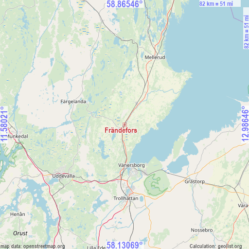
Frändefors GPS coordinates[2]
58° 30' 0" North, 12° 16' 59.988" East
| Map corner | latitude | longitude |
|---|---|---|
| Upper-left | 58.86546°, | 11.58021° |
| Center: | 58.5°, | 12.28333° |
| Lower-right: | 58.13069°, | 12.98646° |
| Map W x H: | 81.7×81.7 km | = 50.8×50.8mi |
| max Lat: | 67.85572° ⇑52.8% North |
| Frändefors: | 58.5° |
| min Lat: | ⇓47.2% South 55.34337° |
| min Long | Frändefors | max Long |
| 11.1712° | 12.28333° | 24.13676° |
| W 9.1%⇐ | ⇒90.9% E |
Elevation
Elevation of Frändefors is 64 m = 210 ft, and this is 18.6 m = 61 ft below average elevation for this country.
| Max E: |
663 m = 2175 ft | 42.5% |
| Avg. | 82.6 m = 271 ft | |
| Frändefors | 64 m = 210 ft | |
Min E: |
-1 m = -3 ft | 57.5% |
See also: Sweden elevation on elevation.city.
Geographical zone
Frändefors is located in North temperate zone (between Tropic of Cancer and the Arctic Circle). Distance of this North polar circle is 896.6 km =557.1 mi to North.| Distance of | km | miles | from Frändefors |
|---|---|---|---|
| North Pole | 3502.5 | 2176.4 | to North |
| Arctic Circle | 896.6 | 557.1 | to North |
| Tropic Cancer | 3898.7 | 2422.5 | to South |
| Equator | 6504.6 | 4041.8 | to South |


Nearby cities:
15 places around Frändefors: (largest is in red/bold)
• Ammenäs
33.7 km =20.9 mi,  232°
232°
• Brålanda
8 km =5 mi,  28°
28°
• Dals Rostock
24.4 km =15.2 mi,  9°
9°
• Färgelanda
18.5 km =11.5 mi,  294°
294°
• Grästorp
29.7 km =18.5 mi,  128°
128°
• Mellerud
24.3 km =15.1 mi,  23°
23°
• Sjuntorp
33.6 km =20.9 mi,  186°
186°
• Sunningen
32.1 km =19.9 mi, 234°
• Trollhättan
24.1 km =15 mi,  179°
179°
• Uddevalla
26.1 km =16.2 mi, 229°
• Vargön
17.2 km =10.7 mi,  158°
158°
• Velanda
30.2 km =18.8 mi, 177°
• Vänersborg
13.5 km =8.4 mi,  170°
170°
• Åsensbruk
34.2 km =21.3 mi, 13°
• Ödeborg
18.6 km =11.6 mi, 285°
Sources, notices
• [Note1] Compared only with cities in Sweden existing in our database
• [Src1] Map data: © OpenStreetMap contributors (CC-BY-SA)
• [Src2] Other city data from geonames.org with taken over terms of usage.
• [Src3] Geographical zone / Annual Mean Temperature by Robert A. Rohde @ Wikipedia
