Pivka geodata
Pivka is a seat of a first-order administrative division; located in Slovenia in Europe/Ljubljana (GMT+2) time zone. With population of 2,088 people, there are 96 cities with bigger population in this country. Compared to other cities in Slovenia, 91.8% of cities are located further ↑North; 81.3% of cities are located further →East and 91.8% of cities have lower elevation than Pivka. Note1


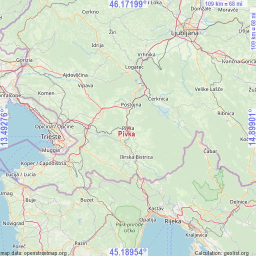
Pivka GPS coordinates[2]
45° 40' 58.512" North, 14° 11' 45.168" East
| Map corner | latitude | longitude |
|---|---|---|
| Upper-left | 46.17199°, | 13.49276° |
| Center: | 45.68292°, | 14.19588° |
| Lower-right: | 45.18954°, | 14.89901° |
| Map W x H: | 109.2×109.2 km | = 67.9×67.9mi |
| max Lat: | 46.83694° ⇑91.8% North |
| Pivka: | 45.68292° |
| min Lat: | ⇓8.2% South 45.47667° |
| min Long | Pivka | max Long |
| 13.52639° | 14.19588° | 16.4975° |
| W 18.7%⇐ | ⇒81.3% E |
Elevation
Elevation of Pivka is 550 m = 1804 ft, and this is 224.4 m = 736 ft above average elevation for this country.
| Max E: |
1551 m = 5089 ft | 8.2% |
| Pivka | 550 m 1804 ft | |
| Avg. | 325.6 m = 1068 ft | |
Min E: |
2 m = 7 ft | 91.8% |
See also: Slovenia elevation on elevation.city.
Geographical zone
Pivka is located in North temperate zone (between Tropic of Cancer and the Arctic Circle). Distance of this North polar circle is 2321.7 km =1442.6 mi to North.| Distance of | km | miles | from Pivka |
|---|---|---|---|
| North Pole | 4927.6 | 3061.9 | to North |
| Arctic Circle | 2321.7 | 1442.6 | to North |
| Tropic Cancer | 2473.5 | 1537 | to South |
| Equator | 5079.5 | 3156.3 | to South |


Nearby cities:
15 places around Pivka: (largest is in red/bold)
• Begunje pri Cerknici
20.9 km =13 mi,  43°
43°
• Cerknica
17.8 km =11.1 mi,  46°
46°
• Divača
17.5 km =10.9 mi,  270°
270°
• Dolnji Zemon
16 km =9.9 mi,  159°
159°
• Hrpelje
21.4 km =13.3 mi,  246°
246°
• Ilirska Bistrica
13.4 km =8.3 mi, 163°
• Lokev
20.9 km =13 mi,  263°
263°
• Lož
21.7 km =13.5 mi,  77°
77°
• Planina
16.8 km =10.4 mi,  14°
14°
• Podgrad
18.3 km =11.4 mi,  192°
192°
• Postojna
10.3 km =6.4 mi, 8°
• Prestranek
5.3 km =3.3 mi,  351°
351°
• Rakek
17 km =10.6 mi,  31°
31°
• Senožeče
12.7 km =7.9 mi,  289°
289°
• Unec
16.6 km =10.3 mi, 27°
Sources, notices
• [Note1] Compared only with cities in Slovenia existing in our database
• [Src1] Map data: © OpenStreetMap contributors (CC-BY-SA)
• [Src2] Other city data from geonames.org with taken over terms of usage.
• [Src3] Geographical zone / Annual Mean Temperature by Robert A. Rohde @ Wikipedia
