Luče geodata
Luče is a seat of a first-order administrative division; located in Slovenia in Europe/Ljubljana (GMT+2) time zone. With population of 413 people, there are 565 cities with bigger population in this country. Compared to other cities in Slovenia, 61% of cities are located further ↓South; 55.8% of cities are located further →East and 88.7% of cities have lower elevation than Luče. Note1


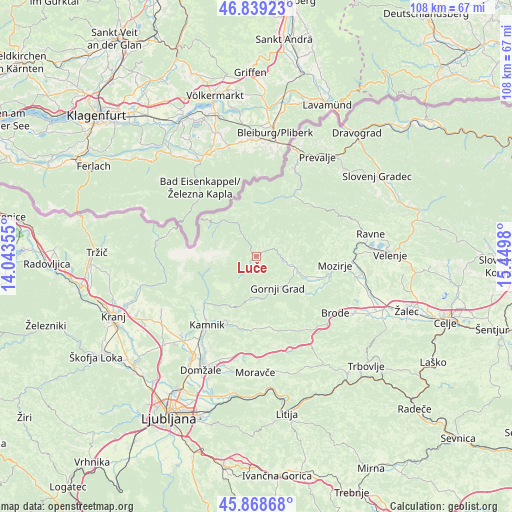
Luče GPS coordinates[2]
46° 21' 21.996" North, 14° 44' 48.012" East
| Map corner | latitude | longitude |
|---|---|---|
| Upper-left | 46.83923°, | 14.04355° |
| Center: | 46.35611°, | 14.74667° |
| Lower-right: | 45.86868°, | 15.4498° |
| Map W x H: | 107.9×107.9 km | = 67×67mi |
| max Lat: | 46.83694° ⇑39% North |
| Luče: | 46.35611° |
| min Lat: | ⇓61% South 45.47667° |
| min Long | Luče | max Long |
| 13.52639° | 14.74667° | 16.4975° |
| W 44.2%⇐ | ⇒55.8% E |
Elevation
Elevation of Luče is 516 m = 1693 ft, and this is 190.4 m = 625 ft above average elevation for this country.
| Max E: |
1551 m = 5089 ft | 11.3% |
| Luče | 516 m 1693 ft | |
| Avg. | 325.6 m = 1068 ft | |
Min E: |
2 m = 7 ft | 88.7% |
See also: Slovenia elevation on elevation.city.
Geographical zone
Luče is located in North temperate zone (between Tropic of Cancer and the Arctic Circle). Distance of this North polar circle is 2246.9 km =1396.2 mi to North.| Distance of | km | miles | from Luče |
|---|---|---|---|
| North Pole | 4852.7 | 3015.3 | to North |
| Arctic Circle | 2246.9 | 1396.2 | to North |
| Tropic Cancer | 2548.4 | 1583.5 | to South |
| Equator | 5154.3 | 3202.7 | to South |


Nearby cities:
15 places around Luče: (largest is in red/bold)
• Bočna
11.1 km =6.9 mi,  131°
131°
• Godič
15.2 km =9.4 mi,  223°
223°
• Gornji Grad
8.3 km =5.2 mi,  145°
145°
• Kamnik
17.8 km =11.1 mi, 215°
• Ljubno ob Savinji
6.8 km =4.2 mi,  101°
101°
• Mekinje
16.9 km =10.5 mi, 216°
• Mozirje
16.7 km =10.4 mi, 96°
• Nazarje
15.9 km =9.9 mi,  105°
105°
• Nova Štifta
9.1 km =5.7 mi,  178°
178°
• Podgorje
19.9 km =12.4 mi, 218°
• Rečica ob Savinji
13.8 km =8.6 mi, 108°
• Solčava
8.1 km =5 mi,  329°
329°
• Vrhpolje pri Kamniku
16.2 km =10.1 mi,  212°
212°
• Zgornje Jezersko
18.9 km =11.7 mi,  282°
282°
• Črna na Koroškem
15 km =9.3 mi,  31°
31°
Sources, notices
• [Note1] Compared only with cities in Slovenia existing in our database
• [Src1] Map data: © OpenStreetMap contributors (CC-BY-SA)
• [Src2] Other city data from geonames.org with taken over terms of usage.
• [Src3] Geographical zone / Annual Mean Temperature by Robert A. Rohde @ Wikipedia
