Bočna geodata
Bočna (Gornji Grad) is a populated place; located in Slovenia in Europe/Ljubljana (GMT+2) time zone. With population of 621 people, there are 422 cities with bigger population in this country. Compared to other cities in Slovenia, 53.2% of cities are located further ↓South; 53.7% of cities are located further →East and 78% of cities have lower elevation than Bočna. Note1


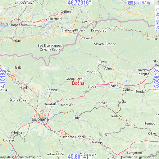
Bočna GPS coordinates[2]
46° 17' 21.984" North, 14° 51' 18" East
| Map corner | latitude | longitude |
|---|---|---|
| Upper-left | 46.77316°, | 14.15188° |
| Center: | 46.28944°, | 14.855° |
| Lower-right: | 45.80141°, | 15.55813° |
| Map W x H: | 108×108 km | = 67.1×67.1mi |
| max Lat: | 46.83694° ⇑46.8% North |
| Bočna: | 46.28944° |
| min Lat: | ⇓53.2% South 45.47667° |
| min Long | Bočna | max Long |
| 13.52639° | 14.855° | 16.4975° |
| W 46.3%⇐ | ⇒53.7% E |
Elevation
Elevation of Bočna is 417 m = 1368 ft, and this is 91.4 m = 300 ft above average elevation for this country.
| Max E: |
1551 m = 5089 ft | 22% |
| Bočna | 417 m 1368 ft | |
| Avg. | 325.6 m = 1068 ft | |
Min E: |
2 m = 7 ft | 78% |
See also: Slovenia elevation on elevation.city.
Geographical zone
Bočna is located in North temperate zone (between Tropic of Cancer and the Arctic Circle). Distance of this North polar circle is 2254.3 km =1400.8 mi to North.| Distance of | km | miles | from Bočna |
|---|---|---|---|
| North Pole | 4860.2 | 3020 | to North |
| Arctic Circle | 2254.3 | 1400.8 | to North |
| Tropic Cancer | 2541 | 1578.9 | to South |
| Equator | 5146.9 | 3198.1 | to South |


Nearby cities:
15 places around Bočna: (largest is in red/bold)
• Braslovče
14.1 km =8.8 mi,  89°
89°
• Florjan
16.5 km =10.3 mi,  45°
45°
• Gornji Grad
3.6 km =2.2 mi,  280°
280°
• Letuš
13.4 km =8.3 mi,  77°
77°
• Ljubno ob Savinji
6.2 km =3.9 mi,  344°
344°
• Luče
11.1 km =6.9 mi,  311°
311°
• Mozirje
10 km =6.2 mi,  56°
56°
• Nazarje
7.7 km =4.8 mi,  66°
66°
• Nova Štifta
8.3 km =5.2 mi,  258°
258°
• Parižlje
15.5 km =9.6 mi, 93°
• Polzela
16.3 km =10.1 mi, 92°
• Rečica ob Savinji
5.6 km =3.5 mi, 57°
• Tabor
13.9 km =8.6 mi,  115°
115°
• Vransko
9 km =5.6 mi, 124°
• Šmartno ob Paki
14.5 km =9 mi, 70°
Sources, notices
• [Note1] Compared only with cities in Slovenia existing in our database
• [Src1] Map data: © OpenStreetMap contributors (CC-BY-SA)
• [Src2] Other city data from geonames.org with taken over terms of usage.
• [Src3] Geographical zone / Annual Mean Temperature by Robert A. Rohde @ Wikipedia
