Kuzma geodata
Kuzma is a seat of a first-order administrative division; located in Slovenia in Europe/Ljubljana (GMT+2) time zone. With population of 375 people, there are 572 cities with bigger population in this country. Compared to other cities in Slovenia, 100% of cities are located further ↓South; 90.8% of cities are located further ←West and 64.7% of cities have higher elevation than Kuzma. Note1


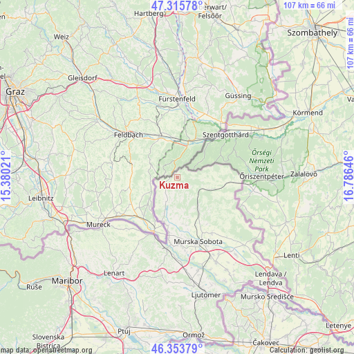
Kuzma GPS coordinates[2]
46° 50' 12.984" North, 16° 4' 59.988" East
| Map corner | latitude | longitude |
|---|---|---|
| Upper-left | 47.31578°, | 15.38021° |
| Center: | 46.83694°, | 16.08333° |
| Lower-right: | 46.35379°, | 16.78646° |
| Map W x H: | 107×107 km | = 66.5×66.5mi |
| max Lat: | 46.83694° ⇑0% North |
| Kuzma: | 46.83694° |
| min Lat: | ⇓100% South 45.47667° |
| min Long | Kuzma | max Long |
| 13.52639° | 16.08333° | 16.4975° |
| W 90.8%⇐ | ⇒9.2% E |
Elevation
Elevation of Kuzma is 260 m = 853 ft, and this is 65.6 m = 215 ft below average elevation for this country.
| Max E: |
1551 m = 5089 ft | 64.7% |
| Avg. | 325.6 m = 1068 ft | |
| Kuzma | 260 m = 853 ft | |
Min E: |
2 m = 7 ft | 35.3% |
See also: Slovenia elevation on elevation.city.
Geographical zone
Kuzma is located in North temperate zone (between Tropic of Cancer and the Arctic Circle). Distance of this North polar circle is 2193.4 km =1362.9 mi to North.| Distance of | km | miles | from Kuzma |
|---|---|---|---|
| North Pole | 4799.3 | 2982.1 | to North |
| Arctic Circle | 2193.4 | 1362.9 | to North |
| Tropic Cancer | 2601.9 | 1616.7 | to South |
| Equator | 5207.8 | 3236 | to South |


Nearby cities:
15 places around Kuzma: (largest is in red/bold)
• Cankova
13.7 km =8.5 mi,  199°
199°
• Gornja Radgona
19.5 km =12.1 mi, 200°
• Gornji Petrovci
11.2 km =7 mi,  108°
108°
• Grad
4.3 km =2.7 mi,  162°
162°
• Hodoš
19.1 km =11.9 mi,  94°
94°
• Martjanci
18.9 km =11.7 mi,  152°
152°
• Moravske Toplice
20.1 km =12.5 mi, 148°
• Murska Sobota
20.4 km =12.7 mi, 161°
• Puconci
15.5 km =9.6 mi, 158°
• Rogašovci
5.6 km =3.5 mi,  222°
222°
• Serdica
4.5 km =2.8 mi,  243°
243°
• Tišina
19.9 km =12.4 mi,  178°
178°
• Tropovci
20.4 km =12.7 mi, 175°
• Černelavci
19.3 km =12 mi,  168°
168°
• Šalovci
16.4 km =10.2 mi, 94°
Sources, notices
• [Note1] Compared only with cities in Slovenia existing in our database
• [Src1] Map data: © OpenStreetMap contributors (CC-BY-SA)
• [Src2] Other city data from geonames.org with taken over terms of usage.
• [Src3] Geographical zone / Annual Mean Temperature by Robert A. Rohde @ Wikipedia
