Pušča geodata
Pušča (Murska Sobota) is a populated place; located in Slovenia in Europe/Ljubljana (GMT+2) time zone. With population of 541 people, there are 495 cities with bigger population in this country. Compared to other cities in Slovenia, 96% of cities are located further ↓South; 92.2% of cities are located further ←West and 81.7% of cities have higher elevation than Pušča. Note1


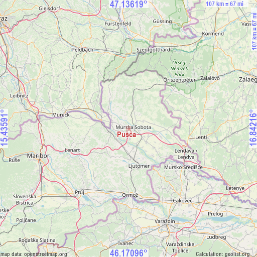
Pušča GPS coordinates[2]
46° 39' 20.628" North, 16° 8' 20.508" East
| Map corner | latitude | longitude |
|---|---|---|
| Upper-left | 47.13619°, | 15.43591° |
| Center: | 46.65573°, | 16.13903° |
| Lower-right: | 46.17096°, | 16.84216° |
| Map W x H: | 107.3×107.3 km | = 66.7×66.7mi |
| max Lat: | 46.83694° ⇑4% North |
| Pušča: | 46.65573° |
| min Lat: | ⇓96% South 45.47667° |
| min Long | Pušča | max Long |
| 13.52639° | 16.13903° | 16.4975° |
| W 92.2%⇐ | ⇒7.8% E |
Elevation
Elevation of Pušča is 191 m = 627 ft, and this is 134.6 m = 442 ft below average elevation for this country.
| Max E: |
1551 m = 5089 ft | 81.7% |
| Avg. | 325.6 m = 1068 ft | |
| Pušča | 191 m = 627 ft | |
Min E: |
2 m = 7 ft | 18.3% |
See also: Slovenia elevation on elevation.city.
Geographical zone
Pušča is located in North temperate zone (between Tropic of Cancer and the Arctic Circle). Distance of this North polar circle is 2213.5 km =1375.4 mi to North.| Distance of | km | miles | from Pušča |
|---|---|---|---|
| North Pole | 4819.4 | 2994.6 | to North |
| Arctic Circle | 2213.5 | 1375.4 | to North |
| Tropic Cancer | 2581.7 | 1604.2 | to South |
| Equator | 5187.6 | 3223.4 | to South |


Nearby cities:
15 places around Pušča: (largest is in red/bold)
• Bakovci
4.2 km =2.6 mi,  168°
168°
• Bratonci
7.4 km =4.6 mi,  124°
124°
• Dokležovje
6.5 km =4 mi,  152°
152°
• Krog
2 km =1.2 mi, 174°
• Lipovci
7.4 km =4.6 mi,  114°
114°
• Martjanci
5.6 km =3.5 mi,  52°
52°
• Moravske Toplice
6.9 km =4.3 mi,  63°
63°
• Murska Sobota
2.2 km =1.4 mi,  70°
70°
• Petanjci
5.6 km =3.5 mi,  267°
267°
• Puconci
5.8 km =3.6 mi,  13°
13°
• Radenci
7.9 km =4.9 mi,  258°
258°
• Rakičan
5 km =3.1 mi,  95°
95°
• Tišina
3.6 km =2.2 mi, 274°
• Tropovci
2.7 km =1.7 mi, 265°
• Černelavci
1.3 km =0.8 mi,  340°
340°
Sources, notices
• [Note1] Compared only with cities in Slovenia existing in our database
• [Src1] Map data: © OpenStreetMap contributors (CC-BY-SA)
• [Src2] Other city data from geonames.org with taken over terms of usage.
• [Src3] Geographical zone / Annual Mean Temperature by Robert A. Rohde @ Wikipedia
