Iskushuban geodata
Iskushuban (Bari) is a populated place; located in Somalia in Africa/Mogadishu (GMT+3) time zone. With population of 5,759 people, there are 42 cities with bigger population in this country. Compared to other cities in Somalia, 83% of cities are located further ↓South; 92.5% of cities are located further ←West and 69.8% of cities have lower elevation than Iskushuban. Note1


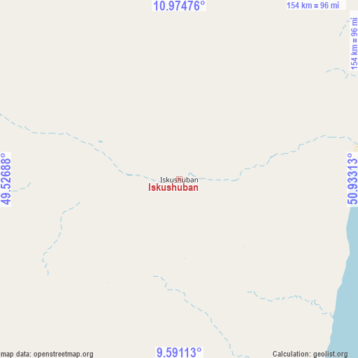
Iskushuban GPS coordinates[2]
10° 17' 1.32" North, 50° 13' 48" East
| Map corner | latitude | longitude |
|---|---|---|
| Upper-left | 10.97476°, | 49.52688° |
| Center: | 10.2837°, | 50.23° |
| Lower-right: | 9.59113°, | 50.93313° |
| Map W x H: | 153.8×153.8 km | = 95.6×95.6mi |
| max Lat: | 11.96611° ⇑17% North |
| Iskushuban: | 10.2837° |
| min Lat: | ⇓83% South -1.21917° |
| min Long | Iskushuban | max Long |
| 41.83725° | 50.23° | 51.0773° |
| W 92.5%⇐ | ⇒7.5% E |
Elevation
Elevation of Iskushuban is 278 m = 912 ft, and this is 11.9 m = 39 ft below average elevation for this country.
| Max E: |
1786 m = 5860 ft | 30.2% |
| Avg. | 289.9 m = 951 ft | |
| Iskushuban | 278 m = 912 ft | |
Min E: |
-2 m = -7 ft | 69.8% |
See also: Somalia elevation on elevation.city.
Geographical zone
Iskushuban is located in North Torrid zone (between Equator and Tropic of Cancer). Distance of Equator is 1143.4 km =710.5 mi to South.| Distance of | km | miles | from Iskushuban |
|---|---|---|---|
| North Pole | 8863.6 | 5507.6 | to North |
| Arctic Circle | 6257.7 | 3888.4 | to North |
| Tropic Cancer | 1462.5 | 908.8 | to North |
| Equator | 1143.4 | 710.5 | to South |


Nearby cities:
11 places around Iskushuban: (largest is in red/bold)
• Bandarbeyla
108.5 km =67.4 mi,  144°
144°
• Bargaal
144.9 km =90 mi,  39°
39°
• Bereeda
198.2 km =123.2 mi,  27°
27°
• Bosaso
159.7 km =99.2 mi,  314°
314°
• Caluula
195.7 km =121.6 mi,  17°
17°
• Ceerigaabo
315.1 km =195.8 mi,  276°
276°
• Eyl
260.1 km =161.6 mi,  190°
190°
• Garoowe
283.7 km =176.3 mi,  222°
222°
• Laascaanood
373.5 km =232.1 mi,  237°
237°
• Las Khorey
242.5 km =150.7 mi,  293°
293°
• Qandala
137.8 km =85.6 mi,  343°
343°
Sources, notices
• [Note1] Compared only with cities in Somalia existing in our database
• [Src1] Map data: © OpenStreetMap contributors (CC-BY-SA)
• [Src2] Other city data from geonames.org with taken over terms of usage.
• [Src3] Geographical zone / Annual Mean Temperature by Robert A. Rohde @ Wikipedia
