Bosaso geodata
Bosaso (Bari) is a seat of a first-order administrative division; located in Somalia in Africa/Mogadishu (GMT+3) time zone. With population of 74,287 people, there are 8 cities with bigger population in this country. Compared to other cities in Somalia, 92.5% of cities are located further ↓South; 86.8% of cities are located further ←West and 79.2% of cities have higher elevation than Bosaso. Note1


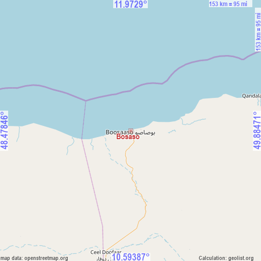
Bosaso GPS coordinates[2]
11° 17' 3.156" North, 49° 10' 53.688" East
| Map corner | latitude | longitude |
|---|---|---|
| Upper-left | 11.9729°, | 48.47846° |
| Center: | 11.28421°, | 49.18158° |
| Lower-right: | 10.59387°, | 49.88471° |
| Map W x H: | 153.3×153.3 km | = 95.3×95.3mi |
| max Lat: | 11.96611° ⇑7.5% North |
| Bosaso: | 11.28421° |
| min Lat: | ⇓92.5% South -1.21917° |
| min Long | Bosaso | max Long |
| 41.83725° | 49.18158° | 51.0773° |
| W 86.8%⇐ | ⇒13.2% E |
Elevation
Elevation of Bosaso is 12 m = 39 ft, and this is 277.9 m = 912 ft below average elevation for this country.
| Max E: |
1786 m = 5860 ft | 79.2% |
| Avg. | 289.9 m = 951 ft | |
| Bosaso | 12 m = 39 ft | |
Min E: |
-2 m = -7 ft | 20.8% |
See also: Bosaso elevation on elevation.city.
Geographical zone
Bosaso is located in North Torrid zone (between Equator and Tropic of Cancer). Distance of Equator is 1254.7 km =779.6 mi to South.| Distance of | km | miles | from Bosaso |
|---|---|---|---|
| North Pole | 8752.4 | 5438.5 | to North |
| Arctic Circle | 6146.5 | 3819.3 | to North |
| Tropic Cancer | 1351.2 | 839.6 | to North |
| Equator | 1254.7 | 779.6 | to South |


Nearby cities:
11 places around Bosaso: (largest is in red/bold)
• Bandarbeyla
267.2 km =166 mi,  138°
138°
• Bargaal
206.7 km =128.4 mi,  89°
89°
• Bereeda
214.5 km =133.3 mi,  72°
72°
• Caluula
187.6 km =116.6 mi, 66°
• Ceerigaabo
211.5 km =131.4 mi,  249°
249°
• Eyl
373.9 km =232.3 mi,  169°
169°
• Garoowe
329.5 km =204.7 mi,  193°
193°
• Iskushuban
159.7 km =99.2 mi,  134°
134°
• Laascaanood
370.4 km =230.2 mi,  212°
212°
• Las Khorey
108.3 km =67.3 mi,  262°
262°
• Qandala
78.2 km =48.6 mi, 74°
Sources, notices
• [Note1] Compared only with cities in Somalia existing in our database
• [Src1] Map data: © OpenStreetMap contributors (CC-BY-SA)
• [Src2] Other city data from geonames.org with taken over terms of usage.
• [Src3] Geographical zone / Annual Mean Temperature by Robert A. Rohde @ Wikipedia
