Pajok geodata
Pajok (Imatong) is a populated place; located in South Sudan in Africa/Juba (GMT+2) time zone. With population of 49,000 people, there are 4 cities with bigger population in this country. Compared to other cities in South Sudan, 100% of cities are located further ↑North; 78.8% of cities are located further ←West and 97% of cities have lower elevation than Pajok. Note1


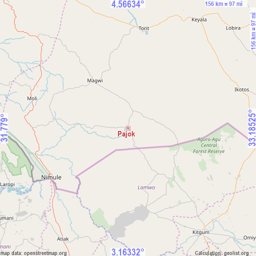
Pajok GPS coordinates[2]
3° 51' 54.432" North, 32° 28' 55.632" East
| Map corner | latitude | longitude |
|---|---|---|
| Upper-left | 4.56634°, | 31.779° |
| Center: | 3.86512°, | 32.48212° |
| Lower-right: | 3.16332°, | 33.18525° |
| Map W x H: | 156×156 km | = 96.9×96.9mi |
| max Lat: | 11.7431° ⇑100% North |
| Pajok: | 3.86512° |
| min Lat: | ⇓0% South 3.86512° |
| min Long | Pajok | max Long |
| 25.67833° | 32.48212° | 33.92621° |
| W 78.8%⇐ | ⇒21.2% E |
Elevation
Elevation of Pajok is 823 m = 2700 ft, and this is 334.1 m = 1096 ft above average elevation for this country.
| Max E: |
836 m = 2743 ft | 3% |
| Pajok | 823 m 2700 ft | |
| Avg. | 488.9 m = 1604 ft | |
Min E: |
392 m = 1286 ft | 97% |
See also: Pajok elevation on elevation.city.
Geographical zone
Pajok is located in North Torrid zone (between Equator and Tropic of Cancer). Distance of Equator is 429.8 km =267.1 mi to South.| Distance of | km | miles | from Pajok |
|---|---|---|---|
| North Pole | 9577.3 | 5951.1 | to North |
| Arctic Circle | 6971.4 | 4331.8 | to North |
| Tropic Cancer | 2176.2 | 1352.2 | to North |
| Equator | 429.8 | 267.1 | to South |


Nearby cities:
11 places around Pajok: (largest is in red/bold)
• Akobo
440.3 km =273.6 mi,  7°
7°
• Bor
280 km =174 mi,  338°
338°
• Juba
148.3 km =92.1 mi,  317°
317°
• Kapoeta
159.1 km =98.9 mi,  50°
50°
• Maridi
353.9 km =219.9 mi,  289°
289°
• Mundri
290.4 km =180.4 mi,  304°
304°
• Pibor
334 km =207.5 mi, 12°
• Terekeka
193.3 km =120.1 mi, 335°
• Torit
61.6 km =38.3 mi, 9°
• Yei
201.9 km =125.5 mi,  277°
277°
• Yirol
370.9 km =230.5 mi, 323°
Sources, notices
• [Note1] Compared only with cities in South Sudan existing in our database
• [Src1] Map data: © OpenStreetMap contributors (CC-BY-SA)
• [Src2] Other city data from geonames.org with taken over terms of usage.
• [Src3] Geographical zone / Annual Mean Temperature by Robert A. Rohde @ Wikipedia
